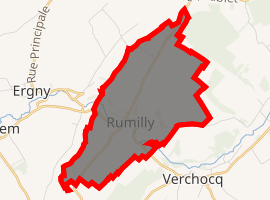
Rumilly, Pas-de-Calais
Rumilly is a commune in the Pas-de-Calais department in the Hauts-de-France region of France.
Rumilly | |
|---|---|
_%C3%A9glise.jpg) The church of Rumilly | |
 Coat of arms | |
Location of Rumilly 
| |
 Rumilly  Rumilly | |
| Coordinates: 50°34′38″N 2°00′56″E | |
| Country | France |
| Region | Hauts-de-France |
| Department | Pas-de-Calais |
| Arrondissement | Montreuil |
| Canton | Lumbres |
| Intercommunality | CC Haut Pays du Montreuillois |
| Government | |
| • Mayor | Ghislain Derollez |
| Area 1 | 7.04 km2 (2.72 sq mi) |
| Population (2017-01-01)[1] | 254 |
| • Density | 36/km2 (93/sq mi) |
| Time zone | UTC+01:00 (CET) |
| • Summer (DST) | UTC+02:00 (CEST) |
| INSEE/Postal code | 62729 /62650 |
| Elevation | 92–173 m (302–568 ft) (avg. 97 m or 318 ft) |
| 1 French Land Register data, which excludes lakes, ponds, glaciers > 1 km2 (0.386 sq mi or 247 acres) and river estuaries. | |
Geography
Rumilly is located 12 miles (19 km) northeast of Montreuil-sur-Mer on the D148 road, in the valley of the Aa river.
Population
| 1962 | 1968 | 1975 | 1982 | 1990 | 1999 | 2006 |
|---|---|---|---|---|---|---|
| 308 | 321 | 292 | 287 | 260 | 255 | 262 |
| Census count starting from 1962: Population without duplicates | ||||||
Places of interest
- The church of Notre-Dame-de-l'Assomption, dating from the eighteenth century
- A seventeenth-century priory
- A sixteenth-century chapel
gollark: They probably just went for whatever argument would bring the most media coverage anyway.
gollark: Admittedly climate change like we (will) have probably doesn't (won't) make the planet *unlivable*, it'll just ruin our civilization a lot.
gollark: The government should at least aim to not break it so horribly that you don't have one.
gollark: ?????
gollark: 👞
References
- "Populations légales 2017". INSEE. Retrieved 6 January 2020.
External links
| Wikimedia Commons has media related to Rumilly (Pas-de-Calais). |
- Rumilly on the Quid website (in French)
This article is issued from Wikipedia. The text is licensed under Creative Commons - Attribution - Sharealike. Additional terms may apply for the media files.