Faverdines
Faverdines is a commune in the Cher department in the Centre-Val de Loire region of France.
Faverdines | |
|---|---|
Location of Faverdines 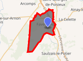
| |
 Faverdines  Faverdines | |
| Coordinates: 46°38′22″N 2°28′37″E | |
| Country | France |
| Region | Centre-Val de Loire |
| Department | Cher |
| Arrondissement | Saint-Amand-Montrond |
| Canton | Châteaumeillant |
| Government | |
| • Mayor (2008–2014) | Jean-Marie Morier |
| Area 1 | 18.51 km2 (7.15 sq mi) |
| Population (2017-01-01)[1] | 142 |
| • Density | 7.7/km2 (20/sq mi) |
| Time zone | UTC+01:00 (CET) |
| • Summer (DST) | UTC+02:00 (CEST) |
| INSEE/Postal code | 18093 /18360 |
| Elevation | 172–239 m (564–784 ft) (avg. 187 m or 614 ft) |
| 1 French Land Register data, which excludes lakes, ponds, glaciers > 1 km2 (0.386 sq mi or 247 acres) and river estuaries. | |
Geography
An area of forestry and farming, comprising the village and several hamlets situated by the banks of the small river Loubière, some 26 miles (42 km) south of Bourges at the junction of the D140 and the D1 roads. The A71 autoroute runs through the eastern part of the commune's territory.
Population
| Year | Pop. | ±% |
|---|---|---|
| 1962 | 187 | — |
| 1968 | 203 | +8.6% |
| 1975 | 147 | −27.6% |
| 1982 | 147 | +0.0% |
| 1990 | 139 | −5.4% |
| 1999 | 136 | −2.2% |
| 2006 | 137 | +0.7% |
Sights
- The fourteenth-century church of St. Aignan.
- The vestiges of a fortified feudal manorhouse at Chaudenay.
gollark: Er, "friend functions in".
gollark: You can omit "friend functions".
gollark: I think my existing version is shorter.
gollark: Oh, no, pointfree.io did it for me.
gollark: ```haskell\text -> concat $ inits text ++ tails text```
See also
References
- "Populations légales 2017". INSEE. Retrieved 6 January 2020.
| Wikimedia Commons has media related to Faverdines. |
| Authority control |
|
|---|
This article is issued from Wikipedia. The text is licensed under Creative Commons - Attribution - Sharealike. Additional terms may apply for the media files.