Rural Municipality of Laurier No. 38
The Rural Municipality of Laurier No. 38 (2016 population: 296) is a rural municipality (RM) in the Canadian province of Saskatchewan within Census Division No. 2 and SARM Division No. 2. it is located in the southeast portion of the province.
Laurier No. 38 | |
|---|---|
| Rural Municipality of Laurier No. 38 | |
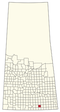 Location of the RM of Laurier No. 38 in Saskatchewan | |
| Coordinates: 49.427°N 104.239°W[1] | |
| Country | Canada |
| Province | Saskatchewan |
| Census division | 2 |
| SARM division | 2 |
| Federal riding | Souris—Moose Mountain |
| Provincial riding | Weyburn-Big Muddy |
| Formed[2] | December 13, 1909 |
| Government | |
| • Reeve | Gene Gilmore |
| • Governing body | RM of Laurier No. 38 Council |
| • Administrator | Ursula Scott |
| • Office location | Radville |
| Area (2016)[4] | |
| • Land | 840.4 km2 (324.5 sq mi) |
| Population (2016)[4] | |
| • Total | 296 |
| • Density | 0.4/km2 (1/sq mi) |
| Time zone | CST |
| • Summer (DST) | CST |
| Postal code | S0C 2G0 |
| Area code(s) | 306 and 639 |
History
The RM of Laurier No. 38 incorporated as a rural municipality on December 13, 1909.[2]
- Heritage properties
There are two historical buildings located within the RM.
- Soda Lake School - Constructed in 1914, as a one room school the building now houses the Soda Lake Community Centre in Soda Lake. The school operated from 1914 until 1953.[5]
- Souris Valley Church - Constructed in 1907 as a Catholic church St. Germaine Parish of the Archdiocese of St. Boniface the church in Souris Valley. The church closed in 1970 and the building has since been operated as the Souris Valley Co-operative Memorial Club. The building has also been called the St. Germaine Roman Catholic Church.[6]
Geography
Communities and localities
The following urban municipalities are surrounded by the RM.
- Radville
The following unincorporated communities are within the RM.
- Localities
- Dandonneau
- Neptune
- Souris Valley
Brooking, a ghost town, is also within the RM.
Demographics
In the 2016 Census of Population conducted by Statistics Canada, the RM of Laurier No. 38 recorded a population of 296 living in 105 of its 115 total private dwellings, a -7.8% change from its 2011 population of 321. With a land area of 840.4 km2 (324.5 sq mi), it had a population density of 0.4/km2 (0.9/sq mi) in 2016.[4]
In the 2011 Census of Population, the RM of Laurier No. 38 recorded a population of 321, a 2.9% change from its 2006 population of 312. With a land area of 840.56 km2 (324.54 sq mi), it had a population density of 0.4/km2 (1.0/sq mi) in 2011.[9]
Government
The RM of Laurier No. 38 is governed by an elected municipal council and an appointed administrator that meets on the second Tuesday of every month.[3] The reeve of the RM is Gene Gilmore while its administrator is Ursula Scott.[3] The RM's office is located in Radville.[3]
Transportation
The Radville Airport is located within the municipality.
Gallery
 Mayville School site
 Liberator School site
 The grain elevator in Brooking
 Allstine School site
 Rural church
 Green Valley School site
 Grain elevator and railway tracks in Brooking
 St. Germaine Parish plaque
 Green Valley School site
References
- "Pre-packaged CSV files - CGN, Canada/Province/Territory (cgn_sk_csv_eng.zip)". Government of Canada. July 24, 2019. Retrieved May 23, 2020.
- "Rural Municipality Incorporations (Alphabetical)". Saskatchewan Ministry of Municipal Affairs. Archived from the original on April 21, 2011. Retrieved May 9, 2020.
- "Municipality Details: RM of Laurier No. 38". Government of Saskatchewan. Retrieved May 21, 2020.
- "Population and dwelling counts, for Canada, provinces and territories, and census subdivisions (municipalities), 2016 and 2011 censuses – 100% data (Saskatchewan)". Statistics Canada. February 8, 2017. Retrieved May 1, 2020.
- Soda Lake School
- Souris Valley Church
- "Saskatchewan Census Population" (PDF). Saskatchewan Bureau of Statistics. Archived from the original (PDF) on September 24, 2015. Retrieved May 9, 2020.
- "Saskatchewan Census Population". Saskatchewan Bureau of Statistics. Retrieved May 9, 2020.
- "Population and dwelling counts, for Canada, provinces and territories, and census subdivisions (municipalities), 2011 and 2006 censuses (Saskatchewan)". Statistics Canada. June 3, 2019. Retrieved May 1, 2020.
| Cities | 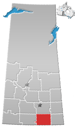 | ||||||
|---|---|---|---|---|---|---|---|
| Towns | |||||||
| Villages | |||||||
| Rural municipalities | |||||||
| First Nations | |||||||
| Indian reserves | |||||||
| Unincorporated communities |
| ||||||