Rural Municipality of Big Stick No. 141
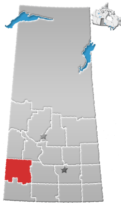
The Rural Municipality of Big Stick No. 141 (2016 population: 136) is a rural municipality (RM) in the Canadian province of Saskatchewan within Census Division No. 8 and SARM Division No. 3. It is located in southwest portion of the province.
Big Stick No. 141 | |
|---|---|
| Rural Municipality of Big Stick No. 141 | |
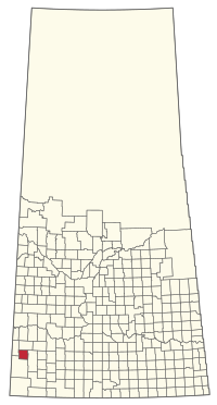 Location of the RM of Big Stick No. 141 in Saskatchewan | |
| Coordinates: 50.185°N 109.527°W[1] | |
| Country | Canada |
| Province | Saskatchewan |
| Census division | 8 |
| SARM division | 3 |
| Federal riding | Cypress Hills—Grasslands |
| Provincial riding | Cypress Hills |
| Formed[2] | December 11, 1911 |
| Government | |
| • Reeve | Edward Feil |
| • Governing body | RM of Big Stick No. 141 Council |
| • Administrator | Melinda Hammer |
| • Office location | Golden Prairie |
| Area (2016)[4] | |
| • Land | 821.4 km2 (317.1 sq mi) |
| Population (2016)[4] | |
| • Total | 136 |
| • Density | 0.2/km2 (0.5/sq mi) |
| Time zone | CST |
| • Summer (DST) | CST |
| Postal code | S0N 0Y0 |
| Area code(s) | 306 and 639 |
History
The RM of Big Stick No. 141 incorporated as a rural municipality on December 11, 1911.[2] The RM takes its name from an alkali lake within its boundaries, which was named after the Big Stick Trail between Maple Creek and the South Saskatchewan River – notable for a large, solitary tree along its route. A Big Stick Lake post office also operated at SE-27-14-26-W3 from 1911 to 1925.[5]
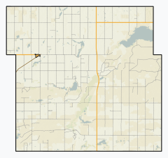
Geography
Communities and localities
The following urban municipalities are surrounded by the RM.
Demographics
In the 2016 Census of Population conducted by Statistics Canada, the RM of Big Stick No. 141 recorded a population of 136 living in 57 of its 74 total private dwellings, a -8.1% change from its 2011 population of 148. With a land area of 821.4 km2 (317.1 sq mi), it had a population density of 0.2/km2 (0.4/sq mi) in 2016.[4]
In the 2011 Census of Population, the RM of Big Stick No. 141 recorded a population of 148, a -18.7% change from its 2006 population of 182. With a land area of 821.4 km2 (317.1 sq mi), it had a population density of 0.2/km2 (0.5/sq mi) in 2011.[8]
Government
The RM of Big Stick No. 141 is governed by an elected municipal council and an appointed administrator that meets on the first Wednesday of every month.[3] The reeve of the RM is Edward Feil while its administrator is Melinda Hammer.[3] The RM's office is located in Golden Prairie.[3]
References
- "Pre-packaged CSV files - CGN, Canada/Province/Territory (cgn_sk_csv_eng.zip)". Government of Canada. July 24, 2019. Retrieved May 23, 2020.
- "Rural Municipality Incorporations (Alphabetical)". Saskatchewan Ministry of Municipal Affairs. Archived from the original on April 21, 2011. Retrieved May 9, 2020.
- "Municipality Details: RM of Big Stick No. 141". Government of Saskatchewan. Retrieved May 21, 2020.
- "Population and dwelling counts, for Canada, provinces and territories, and census subdivisions (municipalities), 2016 and 2011 censuses – 100% data (Saskatchewan)". Statistics Canada. February 8, 2017. Retrieved May 1, 2020.
- Barry, Bill (2005). Geographic Names of Saskatchewan. Regina, Saskatchewan: People Places Publishing Ltd. ISBN 1-897010-19-2.
- "Saskatchewan Census Population" (PDF). Saskatchewan Bureau of Statistics. Archived from the original (PDF) on September 24, 2015. Retrieved May 9, 2020.
- "Saskatchewan Census Population". Saskatchewan Bureau of Statistics. Retrieved May 9, 2020.
- "Population and dwelling counts, for Canada, provinces and territories, and census subdivisions (municipalities), 2011 and 2006 censuses (Saskatchewan)". Statistics Canada. June 3, 2019. Retrieved May 1, 2020.