PE postcode area
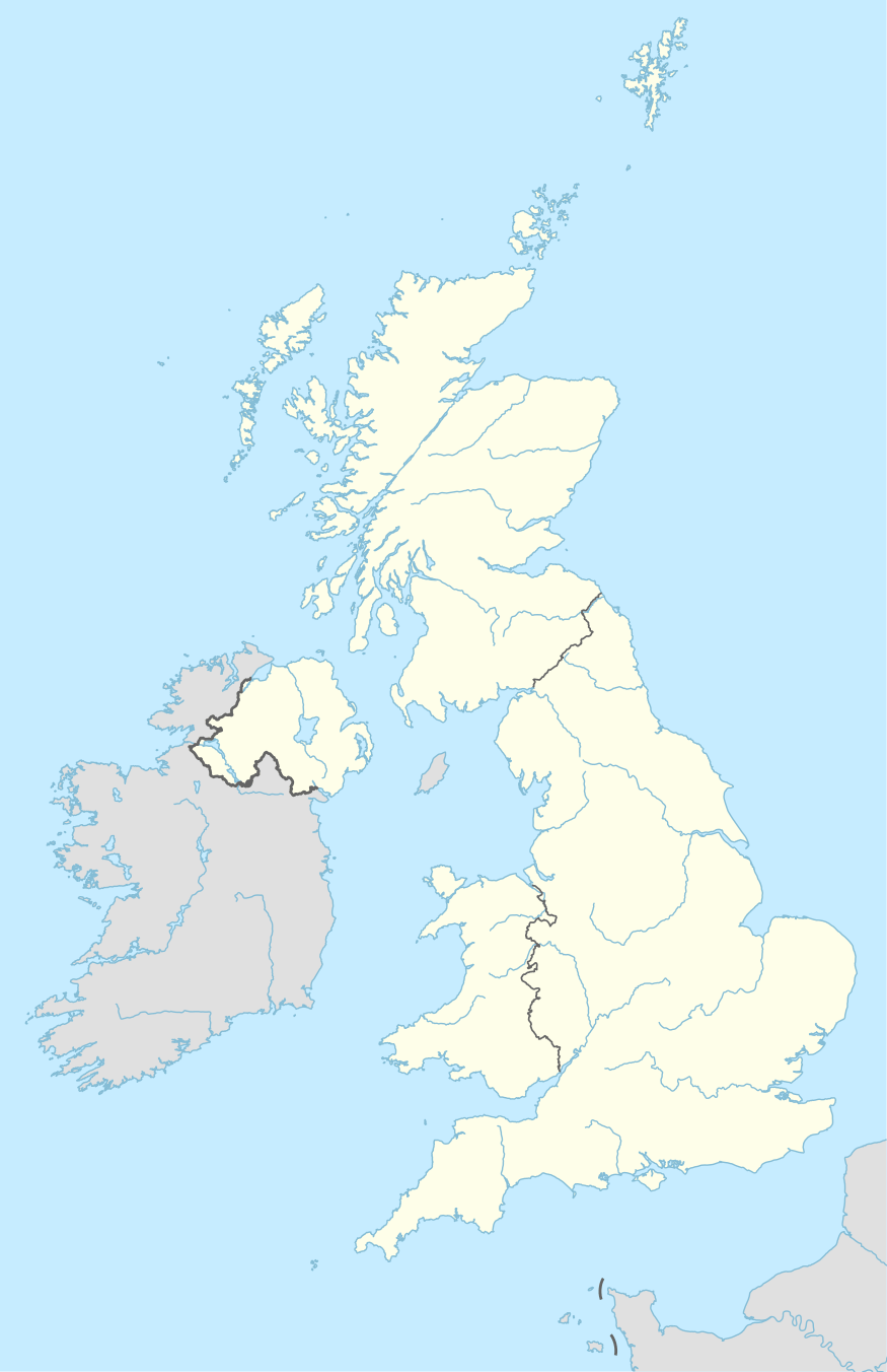
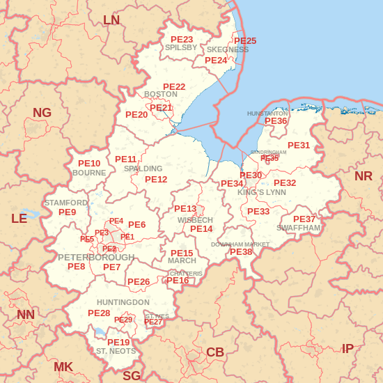
The PE postcode area, also known as the Peterborough postcode area,[2] is a group of 38 postcode districts in eastern England, which are subdivisions of 18 post towns. These cover most of Cambridgeshire (including Peterborough, Huntingdon, Chatteris, St. Neots, St Ives, March and Wisbech), much of south Lincolnshire (including Bourne, Stamford, Spalding, Boston, Skegness and Spilsby) and west Norfolk (including King's Lynn, Hunstanton, Sandringham, Swaffham and Downham Market), plus parts of east Northamptonshire and very small parts of Bedfordshire and Rutland.
| Peterborough postcode area | |
|---|---|
 PE | |
| Postcode area | PE |
| Postcode area name | Peterborough |
| Post towns | 18 |
| Postcode districts | 39 |
| Postcode sectors | 162 |
| Postcodes (live) | 26,561 |
| Postcodes (total) | 38,938 |
| Statistics as at May 2020[1] | |
Coverage
The approximate coverage of the postcode districts:
Map
gollark: I don't want to use Python because it'd just devolve into the incomprehensible mess which Minoteaur and RSAPI are. Rust is, and as previously mentioned. Nim would require me to copypaste my random utility libraries all over the place and they'd be bad.
gollark: Besides, the issue isn't web, it's all programming languages ever.
gollark: Says the developer of Macron.
gollark: But hardware is designed with programming languages.
gollark: Generate the HTML on-demand with GPT or something, you mean?
References
- "ONS Postcode Directory Version Notes" (ZIP). National Statistics Postcode Products. Office for National Statistics. May 2020. Table 2. Retrieved 19 June 2020. Coordinates from mean of unit postcode points, "Code-Point Open". OS OpenData. Ordnance Survey. February 2012. Retrieved 21 April 2012.
- Royal Mail, Address Management Guide, (2004)
External links
This article is issued from Wikipedia. The text is licensed under Creative Commons - Attribution - Sharealike. Additional terms may apply for the media files.
