Walpole Highway
Walpole Highway is a village and civil parish in the English county of Norfolk. It covers an area of 10.48 km2 (4.05 sq mi) and had a population of 685 in 266 households at the 2001 census,[1] the population increasing to 701 at the 2011 census.[2] For the purposes of local government, it falls within the district of King's Lynn and West Norfolk.
| Walpole Highway | |
|---|---|
.jpg) Signpost in Walpole Highway | |
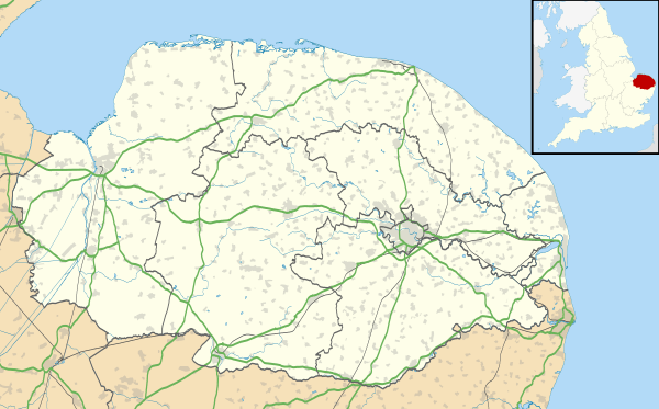 Walpole Highway Location within Norfolk | |
| Area | 10.48 km2 (4.05 sq mi) |
| Population | 701 (2011) |
| • Density | 67/km2 (170/sq mi) |
| OS grid reference | TF515138 |
| District | |
| Shire county | |
| Region | |
| Country | England |
| Sovereign state | United Kingdom |
| Post town | WISBECH |
| Postcode district | PE14 |
| Police | Norfolk |
| Fire | Norfolk |
| Ambulance | East of England |

Mill House and remains of the windmill at Ratten Row
The village lies to the south of the route of the A47 between Peterborough and King's Lynn.
Notes
- Census population and household counts for unparished urban areas and all parishes. Office for National Statistics & Norfolk County Council (2001). Retrieved 20 June 2009.
- "Civil Parish population 2011". Retrieved 30 August 2015.
gollark: For a thing I'm working on I need mathy blocks and wikilinks, and yet markdown does not support these without having to bodge some horrible custom parsing on top.
gollark: CommonMark is well-supported but also nightmarishly complex to implement and it doesn't support stuff like mathy blocks.
gollark: The main issue with Markdown is that the standards for it are basically useless.
gollark: I mostly write content as markdown, which renders somewhat consistently.
gollark: Idea: Esolang based on text formatting.
This article is issued from Wikipedia. The text is licensed under Creative Commons - Attribution - Sharealike. Additional terms may apply for the media files.