PR postcode area
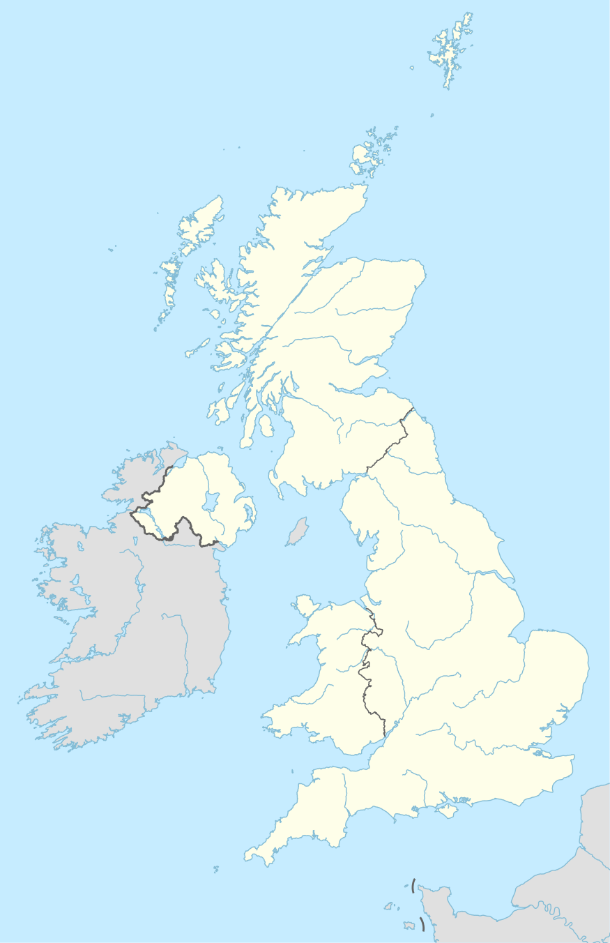
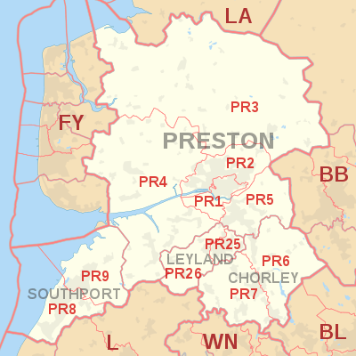
The PR postcode area, also known as the Preston postcode area,[2] is a group of eleven postcode districts in North West England, within four post towns. These cover south-west Lancashire (including Preston, Chorley and Leyland) and north Merseyside (including Southport).
| Preston postcode area | |
|---|---|
 PR | |
| Postcode area | PR |
| Postcode area name | Preston |
| Post towns | 4 |
| Postcode districts | 13 |
| Postcode sectors | 83 |
| Postcodes (live) | 13,061 |
| Postcodes (total) | 19,936 |
| Statistics as at May 2020[1] | |
Coverage
The approximate coverage of the postcode districts:
The PR25 and PR26 districts were formed out of the PR5 district in January 2001. Leyland became a new post town at this time, having previously been part of the Preston post town.[4]
Map
gollark: Seriously though. The prices are crazy. 3900 shards for a Thunder and 3900 for a Gold.
gollark: Oh, excluding prizes, obviously.
gollark: So... it's missing eggs which have different biome variants but the same species (zyumorphs), ones which are similar-ish but have different subspecies based on biomes (xenowyrms), dragons with time-dependent hatching (sunrise/sets), hybrids (carina, geode), dragons with time-dependent eggs (fire gems)... anything else?
gollark: Ah, true, yes.
gollark: Wyrms, definitely.
References
- "ONS Postcode Directory Version Notes" (ZIP). National Statistics Postcode Products. Office for National Statistics. May 2020. Table 2. Retrieved 19 June 2020. Coordinates from mean of unit postcode points, "Code-Point Open". OS OpenData. Ordnance Survey. February 2012. Retrieved 21 April 2012.
- Royal Mail, Address Management Guide, (2004)
- "Royal Mail non-geographic postcodes" (PDF). Royal Mail. 7 March 2007. Retrieved 10 March 2008.
- "Which districts have been recoded by the Royal Mail?". Experian QAS. Retrieved 22 October 2016.
External links
This article is issued from Wikipedia. The text is licensed under Creative Commons - Attribution - Sharealike. Additional terms may apply for the media files.
