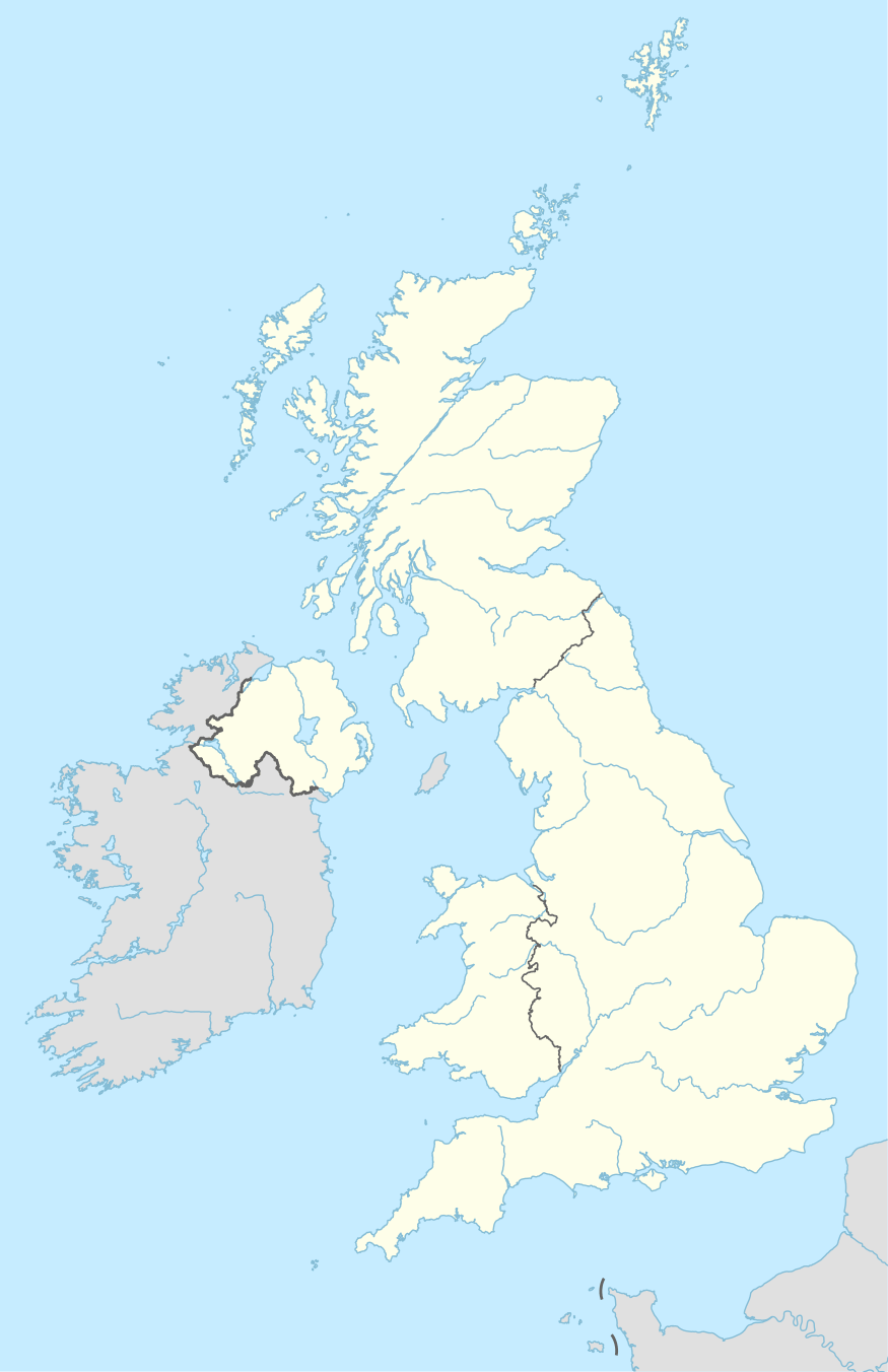
BB postcode area
The BB postcode area, also known as the Blackburn postcode area,[2] is a group of 13 postcode districts in North West England, within 9 post towns and around 13,200 live postcodes. These cover east Lancashire, including Blackburn, Burnley, Accrington, Barnoldswick, Clitheroe, Colne, Darwen, Nelson and Rossendale.
| Blackburn postcode area | |
|---|---|
 BB | |
| Postcode area | BB |
| Postcode area name | Blackburn |
| Post towns | 9 |
| Postcode districts | 15 |
| Postcode sectors | 79 |
| Postcodes (live) | 13,200 |
| Postcodes (total) | 18,833 |
| Statistics as at May 2020[1] | |
Coverage
The approximate coverage of the postcode districts:
The BB18 district was formed out of the BB8 district in 1997.[4]
Map
gollark: I MAY "unironically" implement my own zstd/sqlite/rustaceous archiver.
gollark: Yet the web standard people did brotli, due to bee.
gollark: I used that, but tar is actually bad.
gollark: My backups are currently done via inconsistent mixes of sqlar and rsync.
gollark: I *do* actually need compressed appendable bee data storage.
See also
References
- "ONS Postcode Directory Version Notes" (ZIP). National Statistics Postcode Products. Office for National Statistics. May 2020. Table 2. Retrieved 19 June 2020. Coordinates from mean of unit postcode points, "Code-Point Open". OS OpenData. Ordnance Survey. February 2012. Retrieved 21 April 2012.
- Royal Mail, Address Management Guide, (2004)
- "Royal Mail non-geographic postcodes" (PDF). Royal Mail. 7 March 2007. Retrieved 10 March 2008.
- "Which districts have been recoded by the Royal Mail?". Experian Data Quality Support. Retrieved 22 April 2017.
External links
This article is issued from Wikipedia. The text is licensed under Creative Commons - Attribution - Sharealike. Additional terms may apply for the media files.
