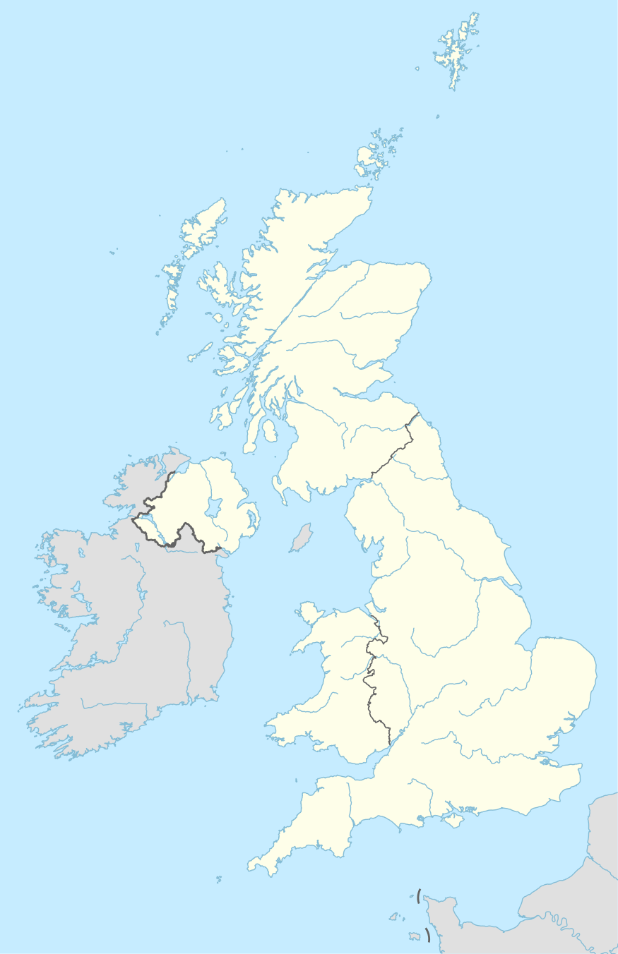
KW postcode area
The KW postcode area, or Kirkwall postcode area, is a group of sixteen postcode districts in the far north of Scotland, within fifteen post towns. These cover Caithness (including Wick, Thurso, Halkirk, Berriedale, Dunbeath, Latheron and Lybster), east Sutherland (including Golspie, Brora, Helmsdale, Kinbrace and Forsinard) and the Orkney Islands.
| Kirkwall postcode area | |
|---|---|
 KW | |
| Postcode area | KW |
| Postcode area name | Kirkwall |
| Post towns | 15 |
| Postcode districts | 16 |
| Postcode sectors | 22 |
| Postcodes (live) | 1,835 |
| Postcodes (total) | 2,103 |
| Statistics as at May 2020[1] | |
Coverage
The approximate coverage of the postcode districts:
| Postcode district | Post town | Coverage | Local authority area(s) |
|---|---|---|---|
| KW1 | WICK | John O'Groats, Keiss | Highland |
| KW2 | LYBSTER | Caithness | Highland |
| KW3 | LYBSTER | Caithness | Highland |
| KW5 | LATHERON | Caithness | Highland |
| KW6 | DUNBEATH | Caithness | Highland |
| KW7 | BERRIEDALE | Caithness | Highland |
| KW8 | HELMSDALE | Sutherland | Highland |
| KW9 | BRORA | Sutherland | Highland |
| KW10 | GOLSPIE | Sutherland | Highland |
| KW11 | KINBRACE | Sutherland | Highland |
| KW12 | HALKIRK | Caithness | Highland |
| KW13 | FORSINARD | Sutherland | Highland |
| KW14 | THURSO | Caithness | Highland |
| KW15 | KIRKWALL | Kirkwall, St Ola | Orkney Islands |
| KW16 | STROMNESS | Stromness, Hoy, Flotta, Graemsay, Sandwick, Stenness | Orkney Islands |
| KW17 | ORKNEY | Most of Mainland, all of the north isles, Burray, South Ronaldsay | Orkney Islands |
Map
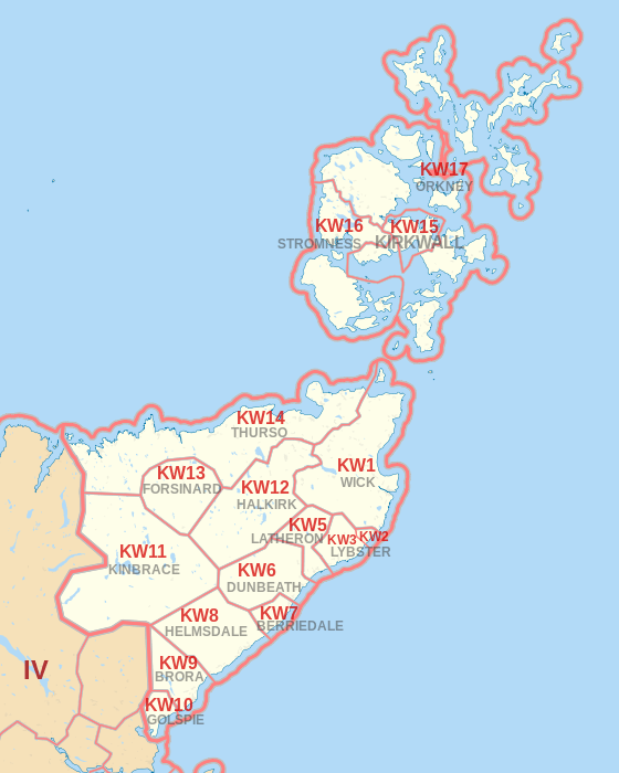
KW postcode area map, showing postcode districts in red and post towns in grey text, with link to nearby IV postcode area.
gollark: I have a bit of modded-minecraft-fatigue from doing the earlygamey stuff lots already, but I would help out with factory building.
gollark: Plethora Peripherals/CC can do very generalized item transfer, but probably quite laggily.
gollark: Mods have done basically everything vanilla ever has.
gollark: Older versions did *not* do this that much.
gollark: The server I've got up has 3.5GB of RAM allocated to it (the actual dedicated box it on has 4... planning to upgrade eventually), and constantly just spends 30% of CPU whenever anyone's on, probably garbage collecting.
References
- "ONS Postcode Directory Version Notes" (ZIP). National Statistics Postcode Products. Office for National Statistics. May 2020. Table 2. Retrieved 19 June 2020. Coordinates from mean of unit postcode points, "Code-Point Open". OS OpenData. Ordnance Survey. February 2012. Retrieved 21 April 2012.
External links
This article is issued from Wikipedia. The text is licensed under Creative Commons - Attribution - Sharealike. Additional terms may apply for the media files.