Fence, Lancashire
Fence is a village in the civil parish of Old Laund Booth, Pendle, Lancashire, England, close to the towns of Nelson and Burnley. It lies alongside the A6068 road, known locally as the Padiham bypass. The parish (which includes the adjoining village of Wheatley Lane) has a population of 1,586.[1]
| Fence | |
|---|---|
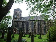
 St Anne's Church | |
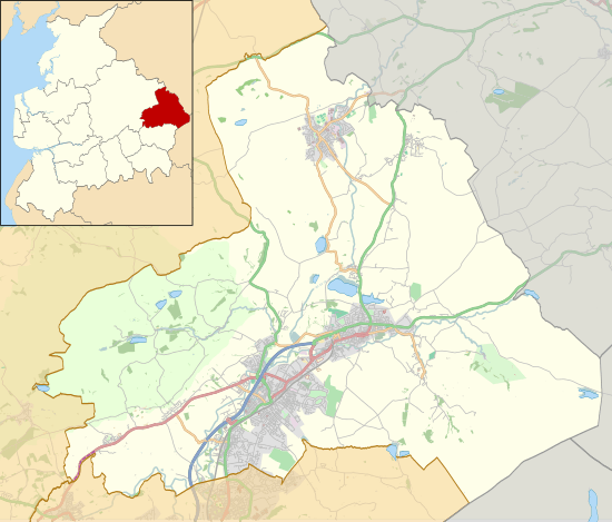
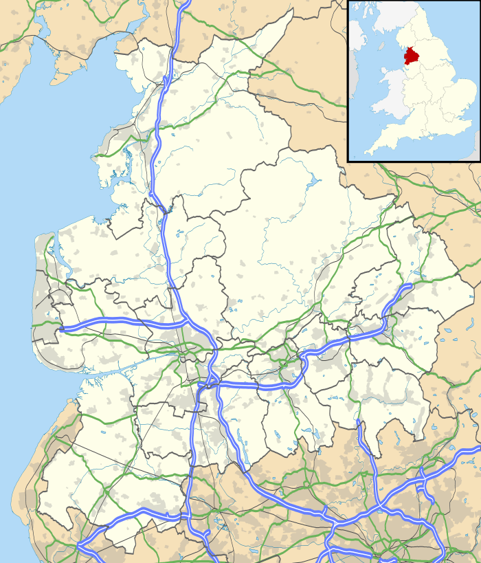
 Fence Location in Pendle Borough  Fence Location within Lancashire | |
| Population | 1,586 (2001) |
| OS grid reference | SD829375 |
| Civil parish | |
| District | |
| Shire county | |
| Region | |
| Country | England |
| Sovereign state | United Kingdom |
| Post town | BURNLEY |
| Postcode district | BB12 |
| Dialling code | 01282 |
| Police | Lancashire |
| Fire | Lancashire |
| Ambulance | North West |
| UK Parliament | |
Fence is a small village along 'Wheatley Lane Road', It abuts the sister village of Wheatley Lane.[2] Because of this, Fence and Wheatley Lane are often referred to together as 'Fence'. The present village now terminates to the west past St Anne's church, where the new bypass cuts the line of the old road.
Fence was in the Hundred of Blackburn. Up until late medieval times, it lay in the Forest of Pendle, the hunting preserve of the King. The name of the village, is derived from the fact that an enclosure was erected in the area, within which the King's deer were kept. This became known as the "Fence", and the community that built up around it over time took the name.
In 1507, Henry VII "surrendered [the parcel called the Fence] to the use of the tenants of Higham, West Close and Goldshaw Booth, to be held by them and their heirs for ever."
The first mention of Fence, is in a document of 1402, as 'Fens in Penhill'. Being near Pendle Hill, Fence has a long shared history with other Pendleside villages, and the Pendle Witches, some old local surnames are shared with the historical witches; for example, the Nutter [3] family name.
Cuckstool Lane, which runs south from the War Memorial was the original site [4] of the village ducking stool, where (the story has it) suspected witches were immersed in a pond, or more likely 'cuckolds', those suspected of adultery. Hoarstones, which lies inside Fence, was the site of an ancient stone circle, and also the starting point for the 1633 witchcraft trials (see the entry under Wheatley Lane).
The older properties on the village consist largely of small stone built cottages, with later housing developments from the 1960s onwards. There is unbroken countryside with fine walking country to the North to Pendle Hill and surrounding areas.
Sports are catered for by Pendle Forest Sports Club. Fence, with Wheatley Lane, hosts several public houses and restaurants including The Bay Horse (currently closed), The Foresters Inn ,[5] The Fence Gate Inn, The White Swan, The Harpers Inn (now closed and in the process of being demolished to make way for six residential dwellings) and Ye Olde Sparrowhawk.[6]
There is also a small art shop/gallery, which was once a bakery. The villages are served by St Anne's church (CoE), two Methodist chapels and a primary school. Shops include a family run Post Office, and a village store/off licence.
See also
References
- Office for National Statistics : Census 2001 : Parish Headcounts : Pendle Retrieved 2009-09-18
- The old road from Whalley to Barrowford, was originally called 'Wheatley Lane' (i.e. the lane to Wheatley), then as this was adopted as a village name, it became known as 'Barrowford Road'; in the 1960s it was changed by the local authorities, yet again to the tautological 'Wheatley Lane Road'.
- From 'Neat-Herder' (cowherd)
- Now filled in and under the north end of the Forest Inn
- The mound in the field opposite (NE of) the Forest is the top of a Beehive Coalpit, and not a horses-grave as local legend has it. It is dangerous and should not be walked upon.
- The original Sparrow Hawk originally stood to the east of the top of Carr Hall road. The original name of 'Ye Olde Sparrow Hawk, was , in fact, 'The Rushton Thorn'
External links
| Wikimedia Commons has media related to Fence, Lancashire. |