Pingvin Rocks
Pingvin Rocks (Bulgarian: скали Пингвин, ‘Skali Pingvin’ \ska-'li ping-'vin\) is the group of rocks in Morton Strait off the northeast coast of Snow Island in the South Shetland Islands, Antarctica extending 670 m in west–east direction and 300 m in south–north direction. The area was visited by early 19th-century sealers.
 Map of Livingston Island featuring Pingvin Rocks | |
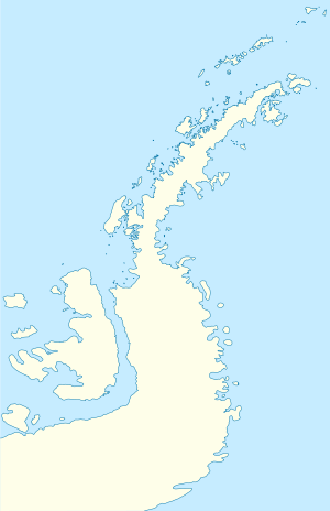
 Pingvin Rocks Location of Pingvin Rocks  Pingvin Rocks Pingvin Rocks (Antarctic Peninsula) | |
| Geography | |
|---|---|
| Location | Antarctica |
| Coordinates | 62°43′05″S 61°13′57″W |
| Archipelago | South Shetland Islands |
| Length | 670 m (2,200 ft) |
| Width | 300 m (1,000 ft) |
| Administration | |
| Administered under the Antarctic Treaty System | |
| Demographics | |
| Population | uninhabited |
The rocks are “named after the ocean fishing trawler Pingvin of the Bulgarian company Ocean Fisheries – Burgas whose ships operated in the waters of South Georgia, Kerguelen, the South Orkney Islands, South Shetland Islands and Antarctic Peninsula from 1970 to the early 1990s. The Bulgarian fishermen, along with those of the Soviet Union, Poland and East Germany are the pioneers of modern Antarctic fishing industry.”[1] "Pingvin" means "penguin" in Bulgarian.
Location
Pingvin Rocks are centred at 62°43′05″S 61°13′57″W, which is 1.7 km northwest of the northeast of President Head, 1 km northeast of Karposh Point and 5.8 km south-southwest of Devils Point on Livingston Island. Bulgarian mapping in 2018.
Maps
- L.L. Ivanov. Antarctica: Livingston Island and Smith Island. Scale 1:100000 topographic map. Manfred Wörner Foundation, 2017; updated 2018.
- Antarctic Digital Database (ADD). Scale 1:250000 topographic map of Antarctica. Scientific Committee on Antarctic Research (SCAR). Since 1993, regularly upgraded and updated.
Notes
References
- Pingvin Rocks. SCAR Composite Gazetteer of Antarctica.
- Bulgarian Antarctic Gazetteer. Antarctic Place-names Commission. (details in Bulgarian, basic data in English)
External links
- Pingvin Rocks. Copernix satellite image
This article includes information from the Antarctic Place-names Commission of Bulgaria which is used with permission.
.svg.png)