Klimash Passage
Klimash Passage (Bulgarian: проток Климаш, ‘Protok Klimash’ \'pro-tok 'kli-mash\) is the 1.9 km wide passage in the South Shetland Islands between Table Island and Bowler Rocks on the northwest and Morris Rock and Chaos Reef, Aitcho Islands to the SE. The area was visited by early 19th century sealers.
Location of Greenwich Island in the South Shetland Islands.

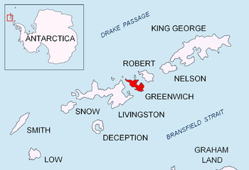
Topographic map of Livingston Island, Greenwich, Robert, Snow and Smith Islands.
The passage is named after the settlement of Klimash in Southeastern Bulgaria.
Location
Klimash Passage is located at 62°21′25″S 59°47′50″W. British mapping in 1968 and Bulgarian mapping in 2009.
Maps
- Livingston Island to King George Island. Scale 1:200000. Admiralty Nautical Chart 1776. Taunton: UK Hydrographic Office, 1968.
- L.L. Ivanov. Antarctica: Livingston Island and Greenwich, Robert, Snow and Smith Islands. Scale 1:120000 topographic map. Troyan: Manfred Wörner Foundation, 2009. ISBN 978-954-92032-6-4 (Second edition 2010, ISBN 978-954-92032-9-5)
- Antarctic Digital Database (ADD). Scale 1:250000 topographic map of Antarctica. Scientific Committee on Antarctic Research (SCAR). Since 1993, regularly upgraded and updated.
gollark: That's a real buggenmess.
gollark: ὀοψ.
gollark: Neither are likely.
gollark: Put it beside/in a charger possibly.
gollark: Flat battery?
References
- Bulgarian Antarctic Gazetteer. Antarctic Place-names Commission. (details in Bulgarian, basic data in English)
- Klimash Passage. SCAR Composite Antarctic Gazetteer.
External links
- Klimash Passage. Copernix satellite image
This article includes information from the Antarctic Place-names Commission of Bulgaria which is used with permission.
| General |
| .svg.png) |
|---|---|---|
| Geographic regions | ||
| Waterways | ||
| Famous explorers | ||
This article is issued from Wikipedia. The text is licensed under Creative Commons - Attribution - Sharealike. Additional terms may apply for the media files.