CW postcode area
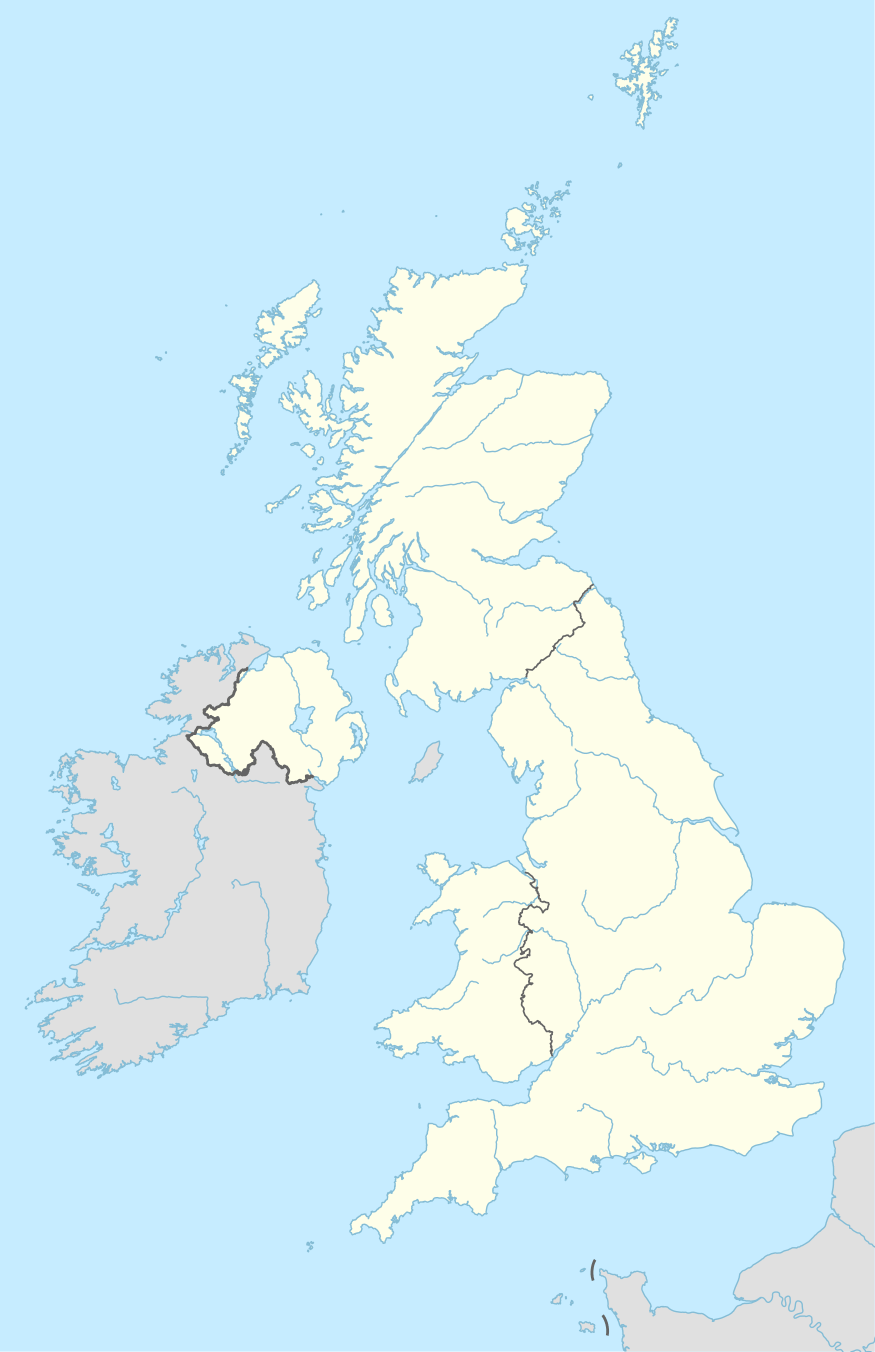
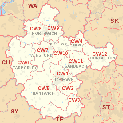
The CW postcode area, also known as the Crewe postcode area,[2] is a group of twelve postcode districts in England, within eight post towns. These cover much of Cheshire, including Crewe, Northwich, Congleton, Middlewich, Nantwich, Sandbach, Tarporley and Winsford, plus very small parts of Staffordshire and Shropshire.
| Crewe postcode area | |
|---|---|
 CW | |
| Postcode area | CW |
| Postcode area name | Crewe |
| Post towns | 8 |
| Postcode districts | 13 |
| Postcode sectors | 52 |
| Postcodes (live) | 9,495 |
| Postcodes (total) | 13,974 |
| Statistics as at May 2020[1] | |
Coverage
The approximate coverage of the postcode districts:
| Postcode district | Post town | Coverage | Local authority area(s) |
|---|---|---|---|
| CW1 | CREWE | Crewe (north), Haslington, Leighton | Cheshire East |
| CW2 | CREWE | Crewe (south), Wistaston, Woolstanwood | Cheshire East |
| CW3 | CREWE | Madeley, Betley, Woore, Audlem | Cheshire East, Newcastle-under-Lyme, Shropshire |
| CW4 | HOLMES CHAPEL | Holmes Chapel, Goostrey, Cranage | Cheshire East |
| CW5 | NANTWICH | Nantwich, Willaston, Sound | Cheshire East |
| CW6 | TARPORLEY | Tarporley, Winsford Rural West | Cheshire West and Chester |
| CW7 | WINSFORD | Winsford (Town), Wharton, Over, Glebe Green, Darnhall, Stanthorne, Bostock, Wimboldsley | Cheshire West and Chester |
| CW8 | NORTHWICH | Northwich (west), Hartford, Weaverham, Castle, Greenbank, Cuddington, Sandiway | Cheshire West and Chester |
| CW9 | NORTHWICH | Northwich (east), Wincham, Lostock Gralam, Rudheath, Leftwich, Davenham, Kingsmead, Antrobus, Comberbach, Aston by Budworth, Appleton (part), High Legh (part) | Cheshire West and Chester, Cheshire East, Warrington |
| CW10 | MIDDLEWICH | Middlewich, Winsford Rural East | Cheshire East, Cheshire West and Chester |
| CW11 | SANDBACH | Sandbach, Ettiley Heath, Elworth, Wheelock | Cheshire East |
| CW12 | CONGLETON | Congleton, North Rode | Cheshire East, Staffordshire Moorlands |
| CW98 | CREWE | non-geographic |
Map
gollark: Then the universe imploded.
gollark: But it instantaneously ceased to exist.
gollark: Well, successful attempt.
gollark: Macron did not actually exist for a measurable period of time. The universe perished in the attempt to make it.
gollark: That universe imploded in 84ps.
References
- "ONS Postcode Directory Version Notes" (ZIP). National Statistics Postcode Products. Office for National Statistics. May 2020. Table 2. Retrieved 19 June 2020. Coordinates from mean of unit postcode points, "Code-Point Open". OS OpenData. Ordnance Survey. February 2012. Retrieved 21 April 2012.
- Royal Mail, Address Management Guide (2004)
External links
This article is issued from Wikipedia. The text is licensed under Creative Commons - Attribution - Sharealike. Additional terms may apply for the media files.
