Villenoy
Villenoy (French: [vilnwa] (![]()
Villenoy | |
|---|---|
 The town hall in Villenoy | |
Location of Villenoy 
| |
 Villenoy 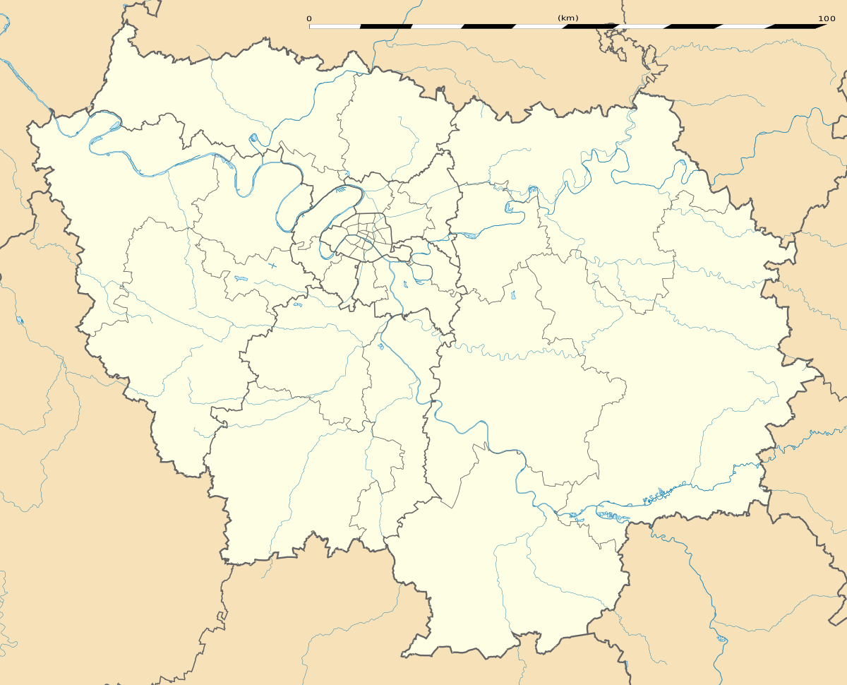 Villenoy | |
| Coordinates: 48°56′36″N 2°51′49″E | |
| Country | France |
| Region | Île-de-France |
| Department | Seine-et-Marne |
| Arrondissement | Meaux |
| Canton | Claye-Souilly |
| Intercommunality | Pays de Meaux |
| Government | |
| • Mayor (2020–2026) | Emmanuel Hude |
| Area 1 | 7.37 km2 (2.85 sq mi) |
| Population (2017-01-01)[1] | 4,903 |
| • Density | 670/km2 (1,700/sq mi) |
| Time zone | UTC+01:00 (CET) |
| • Summer (DST) | UTC+02:00 (CEST) |
| INSEE/Postal code | 77513 /77124 |
| Elevation | 42–85 m (138–279 ft) |
| 1 French Land Register data, which excludes lakes, ponds, glaciers > 1 km2 (0.386 sq mi or 247 acres) and river estuaries. | |
Demographics
Inhabitants of Villenoy are called Villenoyens.
gollark: I didn't say he WASN'T.
gollark: Because current RISC-V CPUs are immature and rather slow.
gollark: Oh, and if you have an AMD/Intel CPU from the last 10ish years it has a management engine equivalent.
gollark: Bold of you to assume that works on any recent system ever.
gollark: You can compile to EFI, but the implementation on your platform is likely closed source I mean.
References
- "Populations légales 2017". INSEE. Retrieved 6 January 2020.
External links
| Wikimedia Commons has media related to Villenoy. |
- 1999 Land Use, from IAURIF (Institute for Urban Planning and Development of the Paris-Île-de-France région) (in English)
| Authority control |
|
|---|
This article is issued from Wikipedia. The text is licensed under Creative Commons - Attribution - Sharealike. Additional terms may apply for the media files.