Saint-Pathus
Saint-Pathus (French: [sɛ̃.paty] (![]()
Saint-Pathus | |
|---|---|
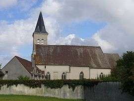 The church in Saint-Pathus | |
.svg.png) Coat of arms | |
Location of Saint-Pathus 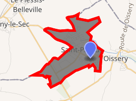
| |
 Saint-Pathus 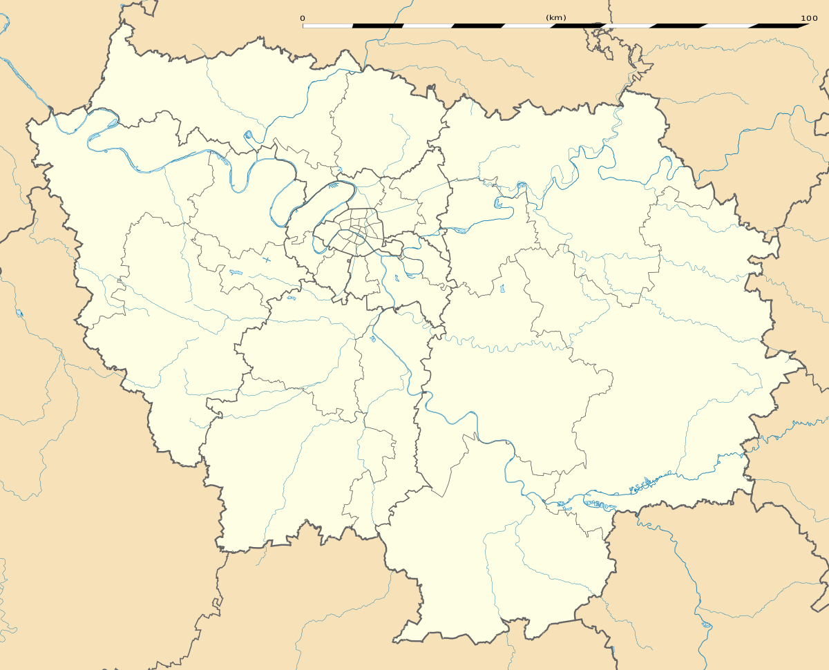 Saint-Pathus | |
| Coordinates: 49°04′N 2°48′E | |
| Country | France |
| Region | Île-de-France |
| Department | Seine-et-Marne |
| Arrondissement | Meaux |
| Canton | Mitry-Mory |
| Intercommunality | CC Plaines et Monts de France |
| Government | |
| • Mayor (2014–2020) | Jean-Benoît Pinturier |
| Area 1 | 5.36 km2 (2.07 sq mi) |
| Population (2017-01-01)[1] | 6,055 |
| • Density | 1,100/km2 (2,900/sq mi) |
| Time zone | UTC+01:00 (CET) |
| • Summer (DST) | UTC+02:00 (CEST) |
| INSEE/Postal code | 77430 /77178 |
| Elevation | 89–113 m (292–371 ft) |
| 1 French Land Register data, which excludes lakes, ponds, glaciers > 1 km2 (0.386 sq mi or 247 acres) and river estuaries. | |
Saint-Pathus is contiguous with Oissery.
Demographics
Inhabitants of Saint-Pathus are called Saint-Pathusiens.
gollark: An equally good - perhaps better - way would be a "remove BSA" action.
gollark: That's quite clever.I kind of wonder why TJ09 made teleports clear effects like that, but it's useful.
gollark: Also, what do "bounce", "force" and "turn" mean?
gollark: The Time of Death requirement could probably be massively simplified using the DragCave API, which ought to return very precise times.
gollark: So just how do you get neglected dragons?
References
- "Populations légales 2017". INSEE. Retrieved 6 January 2020.
External links
| Wikimedia Commons has media related to Saint-Pathus. |
- 1999 Land Use, from IAURIF (Institute for Urban Planning and Development of the Paris-Île-de-France région) (in English)
| Authority control |
|
|---|
This article is issued from Wikipedia. The text is licensed under Creative Commons - Attribution - Sharealike. Additional terms may apply for the media files.