Presles-en-Brie
Presles-en-Brie (French: [pʁɛl‿ɑ̃.bʁi] (![]()
Presles-en-Brie | |
|---|---|
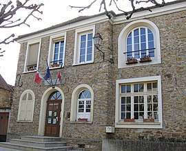
 The town hall in Presles-en-Brie | |
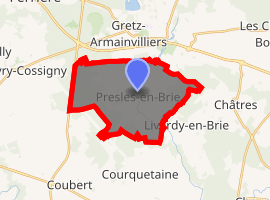
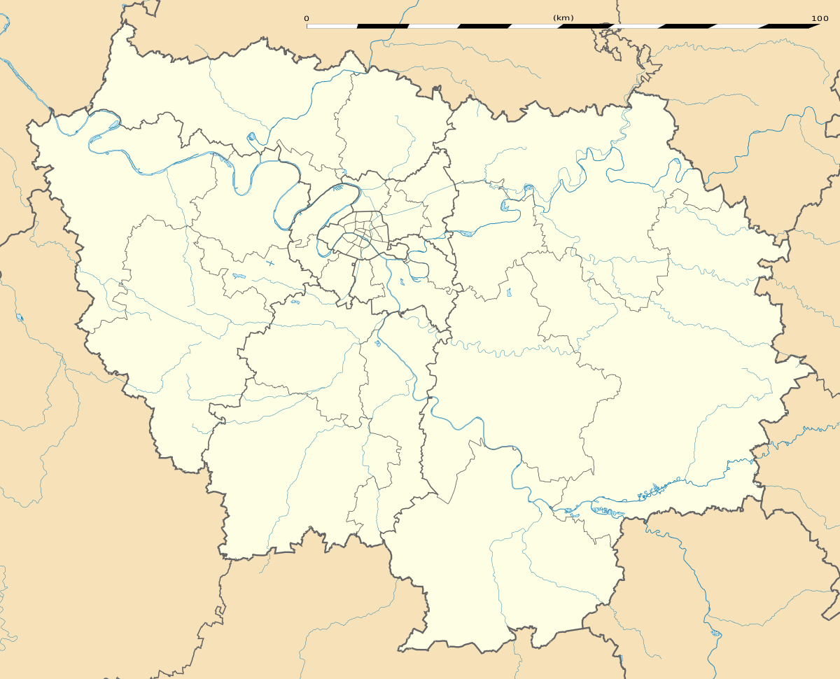
Location of Presles-en-Brie 
| |
 Presles-en-Brie  Presles-en-Brie | |
| Coordinates: 48°42′54″N 2°44′30″E | |
| Country | France |
| Region | Île-de-France |
| Department | Seine-et-Marne |
| Arrondissement | Provins |
| Canton | Fontenay-Trésigny |
| Intercommunality | CC Val Briard |
| Government | |
| • Mayor (2014–2020) | Dominique Rodriguez |
| Area 1 | 17.39 km2 (6.71 sq mi) |
| Population (2017-01-01)[1] | 2,312 |
| • Density | 130/km2 (340/sq mi) |
| Time zone | UTC+01:00 (CET) |
| • Summer (DST) | UTC+02:00 (CEST) |
| INSEE/Postal code | 77377 /77220 |
| Elevation | 78–107 m (256–351 ft) |
| 1 French Land Register data, which excludes lakes, ponds, glaciers > 1 km2 (0.386 sq mi or 247 acres) and river estuaries. | |
Demographics
The inhabitants are known as Preslois.
Twin towns
It is twinned with Wavendon, England.
gollark: Yes, but they already have internet™ and your mesh thing is worse initially.
gollark: I mean, you could do that, but then nobody uses your thing.
gollark: Paid by whom? You want to charge end users capital?!
gollark: It would be nice if it was possible to make incentives for these things work.
gollark: osmarksnetnet™ operates as a mesh overlay network nowadays.
References
- "Populations légales 2017". INSEE. Retrieved 6 January 2020.
External links
| Wikimedia Commons has media related to Presles-en-Brie. |
- 1999 Land Use, from IAURIF (Institute for Urban Planning and Development of the Paris-Île-de-France région) (in English)
This article is issued from Wikipedia. The text is licensed under Creative Commons - Attribution - Sharealike. Additional terms may apply for the media files.