Nangis
Nangis (French: [nɑ̃ʒi] (![]()
Nangis | |
|---|---|
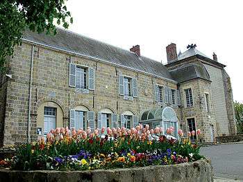 Castle and town hall | |
.svg.png) Coat of arms | |
Location of Nangis 
| |
 Nangis 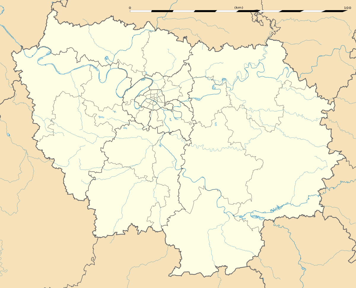 Nangis | |
| Coordinates: 48°33′20″N 3°00′55″E | |
| Country | France |
| Region | Île-de-France |
| Department | Seine-et-Marne |
| Arrondissement | Provins |
| Canton | Nangis |
| Intercommunality | La Brie Nangissienne |
| Government | |
| • Mayor (2008–2014) | Philippe Delannoy |
| Area 1 | 24.16 km2 (9.33 sq mi) |
| Population (2017-01-01)[1] | 8,710 |
| • Density | 360/km2 (930/sq mi) |
| Time zone | UTC+01:00 (CET) |
| • Summer (DST) | UTC+02:00 (CEST) |
| INSEE/Postal code | 77327 /77370 |
| Elevation | 103–140 m (338–459 ft) |
| 1 French Land Register data, which excludes lakes, ponds, glaciers > 1 km2 (0.386 sq mi or 247 acres) and river estuaries. | |
Demographics
The inhabitants are called the Nangissiens.
gollark: I... guess so?
gollark: ++remind "the Sunday after next Wednesday" consume MORE bees
gollark: Is it just interpreting that as "next Sunday"?
gollark: ¡¡¡
gollark: ++remind "the Sunday after this Wednesday" consume bees
References
- "Populations légales 2017". INSEE. Retrieved 6 January 2020.
External links
| Wikimedia Commons has media related to Nangis. |
- Official website (in French)
- 1999 Land Use, from IAURIF (Institute for Urban Planning and Development of the Paris-Île-de-France région) (in English)
- French Ministry of Culture list for Nangis (in French)
| Authority control |
|
|---|
This article is issued from Wikipedia. The text is licensed under Creative Commons - Attribution - Sharealike. Additional terms may apply for the media files.