Saint-Fargeau-Ponthierry
Saint-Fargeau-Ponthierry (French: [sɛ̃.faʁʒo.pɔ̃tjɛʁi] (![]()
Saint-Fargeau-Ponthierry | |
|---|---|
 The town hall in Saint-Fargeau-Ponthierry | |
 Coat of arms | |
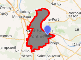
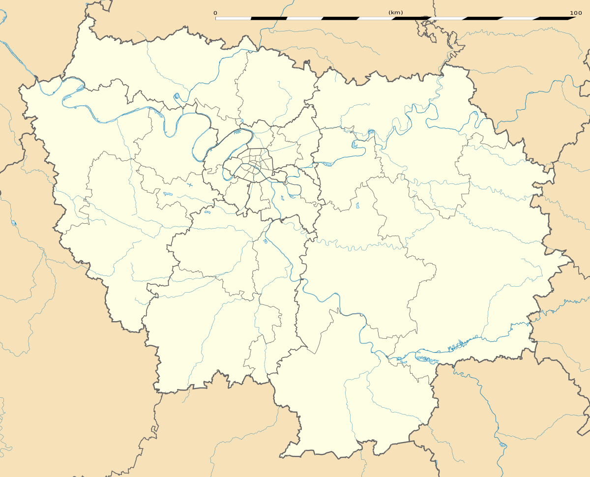
Location of Saint-Fargeau-Ponthierry 
| |
 Saint-Fargeau-Ponthierry  Saint-Fargeau-Ponthierry | |
| Coordinates: 48°31′48″N 2°32′39″E | |
| Country | France |
| Region | Île-de-France |
| Department | Seine-et-Marne |
| Arrondissement | Melun |
| Canton | Saint-Fargeau-Ponthierry |
| Intercommunality | CA Melun Val de Seine |
| Government | |
| • Mayor (2014–2020) | Jérôme Guyard |
| Area 1 | 16.57 km2 (6.40 sq mi) |
| Population (2017-01-01)[1] | 14,206 |
| • Density | 860/km2 (2,200/sq mi) |
| Time zone | UTC+01:00 (CET) |
| • Summer (DST) | UTC+02:00 (CEST) |
| INSEE/Postal code | 77407 /77310 |
| Elevation | 37–86 m (121–282 ft) |
| 1 French Land Register data, which excludes lakes, ponds, glaciers > 1 km2 (0.386 sq mi or 247 acres) and river estuaries. | |
Demographics
Inhabitants of Saint-Fargeau-Ponthierry are called Thierrypontains" or "Ferréopontains.
gollark: > The Rømer scale (Danish pronunciation: [ˈʁœˀmɐ]; notated as °Rø), also known as Romer or Roemer, is a temperature scale named after the Danish astronomer Ole Christensen Rømer, who proposed it in 1701. It is based on the freezing point of pure water being 7.5 degrees and the boiling point of water as 60 degrees.
gollark: Degrees Rømer!
gollark: Coltrans' identity?
gollark: Or 1/2pi.
gollark: How about 2tau?
References
- "Populations légales 2017". INSEE. Retrieved 6 January 2020.
External links
| Wikimedia Commons has media related to Saint-Fargeau-Ponthierry. |
- 1999 Land Use, from IAURIF (Institute for Urban Planning and Development of the Paris-Île-de-France région) (in English)
- French Ministry of Culture list for Saint-Fargeau-Ponthierry (in French)
This article is issued from Wikipedia. The text is licensed under Creative Commons - Attribution - Sharealike. Additional terms may apply for the media files.