Arbonne-la-Forêt
Arbonne-la-Forêt (French: [aʁbɔn.la.fɔʁɛ] (![]()
Arbonne-la-Forêt | |
|---|---|
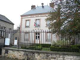 The town hall in Arbonne-la-Forêt | |
.svg.png) Coat of arms | |
Location of Arbonne-la-Forêt 
| |
 Arbonne-la-Forêt 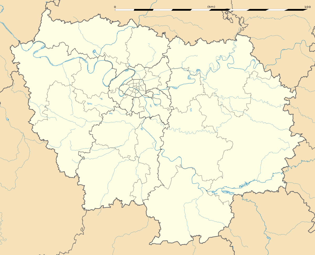 Arbonne-la-Forêt | |
| Coordinates: 48°24′49″N 2°33′52″E | |
| Country | France |
| Region | Île-de-France |
| Department | Seine-et-Marne |
| Arrondissement | Fontainebleau |
| Canton | Fontainebleau |
| Intercommunality | CA Pays de Fontainebleau |
| Government | |
| • Mayor (2014–2020) | Colette Gabet |
| Area 1 | 15.08 km2 (5.82 sq mi) |
| Population (2017-01-01)[1] | 995 |
| • Density | 66/km2 (170/sq mi) |
| Time zone | UTC+01:00 (CET) |
| • Summer (DST) | UTC+02:00 (CEST) |
| INSEE/Postal code | 77006 /77630 |
| Elevation | 64–129 m (210–423 ft) |
| 1 French Land Register data, which excludes lakes, ponds, glaciers > 1 km2 (0.386 sq mi or 247 acres) and river estuaries. | |
Demographics
The inhabitants are called Arbonnais.
gollark: Sounds generic.
gollark: (not mine, it's a popular CC server)
gollark: SwitchCraft uses something like 16GB.
gollark: Minecraft uses *all* RAM.
gollark: Because if not, no player will particularly care.]
References
- "Populations légales 2017". INSEE. Retrieved 6 January 2020.
External links
| Wikimedia Commons has media related to Arbonne-la-Forêt. |
- Website of Arbonne-la-Forêt (in French)
- 1999 Land Use, from IAURIF (Institute for Urban Planning and Development of the Paris-Île-de-France région) (in English)
- French Ministry of Culture site for Arbonne-la-Forêt (in French)
| Authority control |
|
|---|
This article is issued from Wikipedia. The text is licensed under Creative Commons - Attribution - Sharealike. Additional terms may apply for the media files.