Sancy, Seine-et-Marne
Sancy or Sancy-lès-Meaux is a commune in the Seine-et-Marne department in the Île-de-France region in north-central France.
Sancy | |
|---|---|
_-_France.jpg) The church in Sancy | |
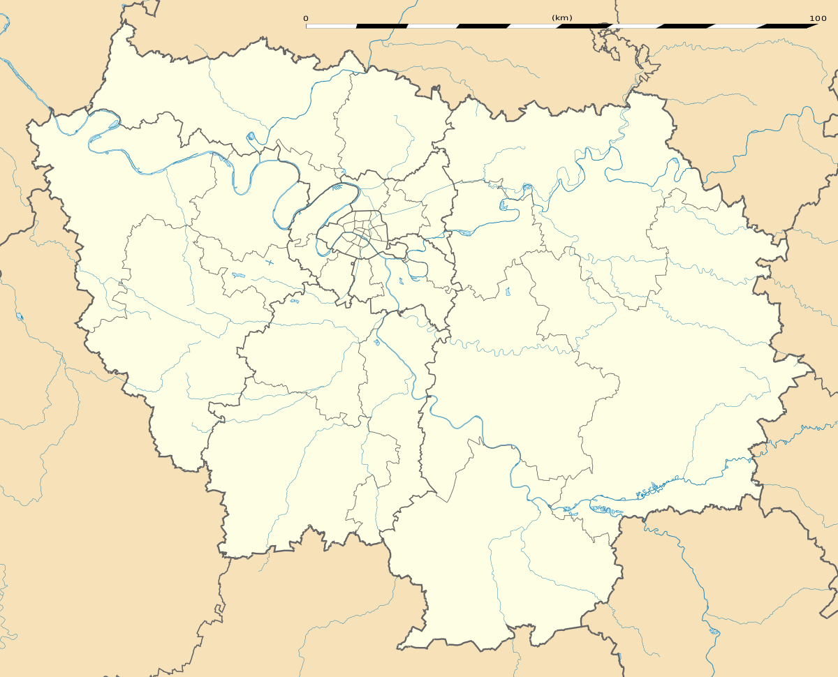
Location of Sancy 
| |
 Sancy  Sancy | |
| Coordinates: 48°53′08″N 2°57′30″E | |
| Country | France |
| Region | Île-de-France |
| Department | Seine-et-Marne |
| Arrondissement | Meaux |
| Canton | Serris |
| Intercommunality | CA Coulommiers Pays de Brie |
| Government | |
| • Mayor (2008–2014) | Daniel Dubois |
| Area 1 | 5.48 km2 (2.12 sq mi) |
| Population (2017-01-01)[1] | 383 |
| • Density | 70/km2 (180/sq mi) |
| Time zone | UTC+01:00 (CET) |
| • Summer (DST) | UTC+02:00 (CEST) |
| INSEE/Postal code | 77443 /77580 |
| Elevation | 118–164 m (387–538 ft) |
| 1 French Land Register data, which excludes lakes, ponds, glaciers > 1 km2 (0.386 sq mi or 247 acres) and river estuaries. | |
Demographics
Inhabitants of Sancy-lès-Meaux are called Sancéens.
gollark: You can ALREADY ping random people by DIRECTLY PINGING THEM.
gollark: "Saying things" is not a privileged action.
gollark: ++delete <@356107472269869058> (unreasonable treatment of bots)
gollark: This is not reasonable, apio.
gollark: ++remind 1h [TOS breaking thing]
References
- "Populations légales 2017". INSEE. Retrieved 6 January 2020.
External links
| Wikimedia Commons has media related to Sancy (Seine-et-Marne). |
- 1999 Land Use, from IAURIF (Institute for Urban Planning and Development of the Paris-Île-de-France région) (in English)
This article is issued from Wikipedia. The text is licensed under Creative Commons - Attribution - Sharealike. Additional terms may apply for the media files.