Villemaréchal
Villemaréchal (French: [vilmaʁeʃal] (![]()
Villemaréchal | |
|---|---|
 A general view of Villemaréchal | |
Location of Villemaréchal 
| |
 Villemaréchal 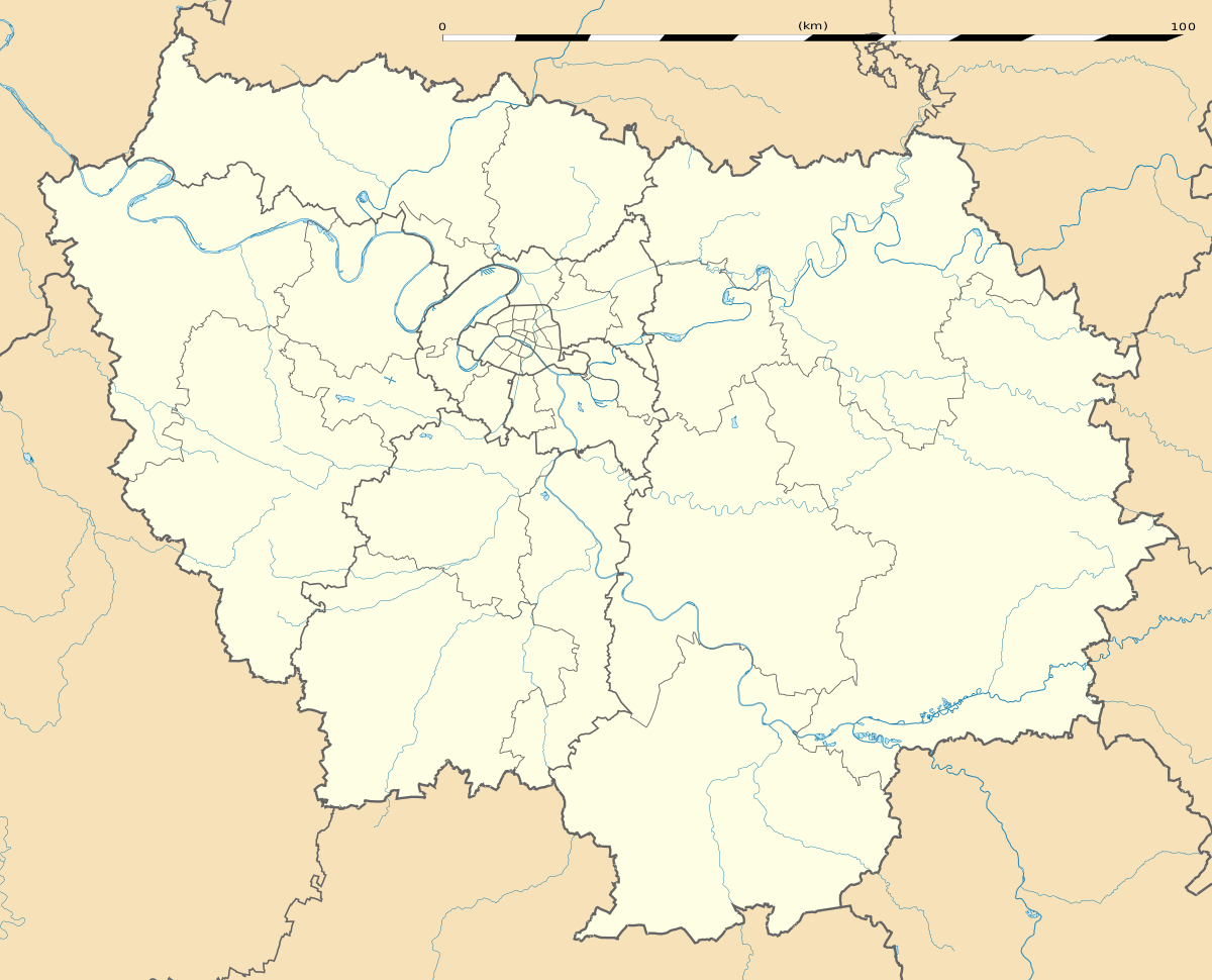 Villemaréchal | |
| Coordinates: 48°16′06″N 2°52′09″E | |
| Country | France |
| Region | Île-de-France |
| Department | Seine-et-Marne |
| Arrondissement | Fontainebleau |
| Canton | Nemours |
| Intercommunality | CC Moret Seine et Loing |
| Government | |
| • Mayor (2019–2020) | Laurence Klein |
| Area 1 | 17.46 km2 (6.74 sq mi) |
| Population (2017-01-01)[1] | 1,110 |
| • Density | 64/km2 (160/sq mi) |
| Time zone | UTC+01:00 (CET) |
| • Summer (DST) | UTC+02:00 (CEST) |
| INSEE/Postal code | 77504 /77710 |
| Elevation | 82–148 m (269–486 ft) |
| 1 French Land Register data, which excludes lakes, ponds, glaciers > 1 km2 (0.386 sq mi or 247 acres) and river estuaries. | |
Demographics
Inhabitants of Villemaréchal are called Villemarchais.
gollark: Oh, and will setting the label 20 times a second cause lag or something?
gollark: If it means "only those codepoints", I think this should allow for at least 6 bits per "character", or 192 for a full label, which is enough for 24 bytes per tick. Each way. With compression, potatOS should be transferable in only *minutes*.
gollark: Yes, I got that much.
gollark: I don't know exactly what it does.
gollark: This code here is for label handling, I think.
References
- "Populations légales 2017". INSEE. Retrieved 6 January 2020.
- Arrêté préfectoral 19 December 2018 (in French)
External links
| Wikimedia Commons has media related to Villemaréchal. |
- 1999 Land Use, from IAURIF (Institute for Urban Planning and Development of the Paris-Île-de-France région) (in English)
| Authority control |
|
|---|
This article is issued from Wikipedia. The text is licensed under Creative Commons - Attribution - Sharealike. Additional terms may apply for the media files.