Crégy-lès-Meaux
Crégy-lès-Meaux (French: [kʁeʒi.lɛ.mo] (![]()
Crégy-lès-Meaux | |
|---|---|
%2C_mairie_et_%C3%A9glise_St-Laurent_XIXe_s.%2C_rue_Jean-Jaur%C3%A8s_02.jpg) The town hall and church in Crégy-lès-Meaux | |
 Coat of arms | |
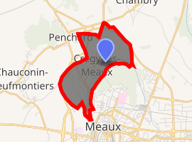
Location of Crégy-lès-Meaux 
| |
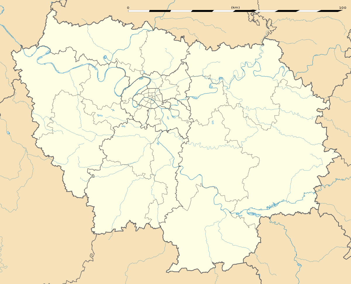
 Crégy-lès-Meaux  Crégy-lès-Meaux | |
| Coordinates: 48°58′46″N 2°52′45″E | |
| Country | France |
| Region | Île-de-France |
| Department | Seine-et-Marne |
| Arrondissement | Meaux |
| Canton | Claye-Souilly |
| Intercommunality | CA Pays de Meaux |
| Government | |
| • Mayor (2014–2020) | Gérard Chomont |
| Area 1 | 3.67 km2 (1.42 sq mi) |
| Population (2017-01-01)[1] | 4,749 |
| • Density | 1,300/km2 (3,400/sq mi) |
| Time zone | UTC+01:00 (CET) |
| • Summer (DST) | UTC+02:00 (CEST) |
| INSEE/Postal code | 77143 /77124 |
| Elevation | 45–122 m (148–400 ft) |
| 1 French Land Register data, which excludes lakes, ponds, glaciers > 1 km2 (0.386 sq mi or 247 acres) and river estuaries. | |
Demographics
The inhabitants are called Crégyssois.
gollark: Especially "smart" ones, which are garbage in a different way.
gollark: I'll... look into that, but ordering from some random Chinese site or something sounds especially inconvenient.
gollark: Maybe the situation with ordering is better here in the UK. I haven't really checked.
gollark: That's the inconvenient thing about trying to do anything which requires parts right now, I guess.
gollark: I should really look into learning a bit of lockpicking stuff over the... five months or so still... time I'll have off from school.
References
- "Populations légales 2017". INSEE. Retrieved 6 January 2020.
External links
| Wikimedia Commons has media related to Crégy-lès-Meaux. |
- 1999 Land Use, from IAURIF (Institute for Urban Planning and Development of the Paris-Île-de-France région) (in English)
This article is issued from Wikipedia. The text is licensed under Creative Commons - Attribution - Sharealike. Additional terms may apply for the media files.