Villemer, Seine-et-Marne
Villemer is a commune in the Seine-et-Marne department in the Île-de-France region in north-central France.
Villemer | |
|---|---|
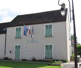 The town hall in Villemer | |
Location of Villemer 
| |
 Villemer 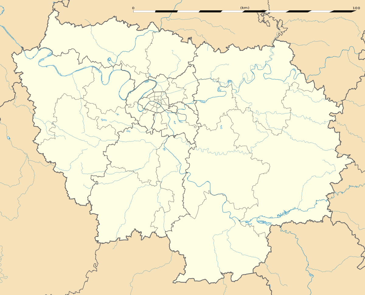 Villemer | |
| Coordinates: 48°18′01″N 2°49′31″E | |
| Country | France |
| Region | Île-de-France |
| Department | Seine-et-Marne |
| Arrondissement | Fontainebleau |
| Canton | Nemours |
| Intercommunality | Moret Seine et Loing |
| Government | |
| • Mayor (2008–2014) | Alain Houdry (PR) |
| Area 1 | 18.54 km2 (7.16 sq mi) |
| Population (2017-01-01)[1] | 742 |
| • Density | 40/km2 (100/sq mi) |
| Time zone | UTC+01:00 (CET) |
| • Summer (DST) | UTC+02:00 (CEST) |
| INSEE/Postal code | 77506 /77250 |
| Elevation | 53–106 m (174–348 ft) |
| 1 French Land Register data, which excludes lakes, ponds, glaciers > 1 km2 (0.386 sq mi or 247 acres) and river estuaries. | |
Geography
The commune is traversed by the Lunain river.
Demographics
Inhabitants of Villemer are called Villemériannaisois.
gollark: AlexDevs has a usably okay package manager.
gollark: It's great for catching all those clouds and such.
gollark: I put in: "abysmal awful appalling atrocious bad boring belligerent banal broken callous crazy cruel corrosive corrupt criminal contradictory confused damaging dismal dreadful deprived deplorable dishonest disease detrimental dishonorable dreary evil enrage fail foul faulty filthy frightful fight gross ghastly grim guilty grotesque grimace haggard harmful horrendous hostile icky immature hate horrible hideous"
gollark: * JSON decoding
gollark: The error message is odd because potatOS but I believe it is an error with JSON.
References
- "Populations légales 2017". INSEE. Retrieved 6 January 2020.
External links
| Wikimedia Commons has media related to Villemer (Seine-et-Marne). |
- 1999 Land Use, from IAURIF (Institute for Urban Planning and Development of the Paris-Île-de-France région) (in English)
- French Ministry of Culture list for Villemer (in French)
| Authority control |
|
|---|
This article is issued from Wikipedia. The text is licensed under Creative Commons - Attribution - Sharealike. Additional terms may apply for the media files.