Germigny-l'Évêque
Germigny-l'Évêque (French: [ʒɛʁmini.levɛk] (![]()
Germigny-l'Évêque | |
|---|---|
 Town hall of Germigny-l'Évêque | |
Location of Germigny-l'Évêque 
| |
 Germigny-l'Évêque 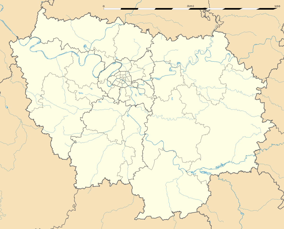 Germigny-l'Évêque | |
| Coordinates: 48°59′39″N 2°56′37″E | |
| Country | France |
| Region | Île-de-France |
| Department | Seine-et-Marne |
| Arrondissement | Meaux |
| Canton | La Ferté-sous-Jouarre |
| Intercommunality | Pays de Meaux |
| Government | |
| • Mayor (2014-2020) | Aline Marie-Mellare[1] |
| Area 1 | 11.76 km2 (4.54 sq mi) |
| Population (2017-01-01)[2] | 1,306 |
| • Density | 110/km2 (290/sq mi) |
| Time zone | UTC+01:00 (CET) |
| • Summer (DST) | UTC+02:00 (CEST) |
| INSEE/Postal code | 77203 /77910 |
| Elevation | 42–104 m (138–341 ft) |
| 1 French Land Register data, which excludes lakes, ponds, glaciers > 1 km2 (0.386 sq mi or 247 acres) and river estuaries. | |
Demographics
Inhabitants are called Germinois.
Geography
Germigny-l'Évêque is located 9.5 km Northeast of Meaux on the left bank of the river Marne.
gollark: Oh, excellent.
gollark: I should really sort my memes by goodness.
gollark: https://en.wikipedia.org/wiki/Marbled_crayfish
gollark: I have *one* fish video.
gollark: I think I have a bunch of fish videos.
References
- Union des Maires de Seine & Marne Archived 2015-07-05 at the Wayback Machine
- "Populations légales 2017". INSEE. Retrieved 6 January 2020.
External links
| Wikimedia Commons has media related to Germigny-l'Évêque. |
- 1999 Land Use, from IAURIF (Institute for Urban Planning and Development of the Paris-Île-de-France région) (in English)
- French Ministry of Culture list for Germigny-l'Évêque (in French)
| Authority control |
|
|---|
This article is issued from Wikipedia. The text is licensed under Creative Commons - Attribution - Sharealike. Additional terms may apply for the media files.