Longuevillette
Longuevillette is a commune in the Somme department in Hauts-de-France in northern France.
Longuevillette | |
|---|---|
The town hall in Longuevillette | |
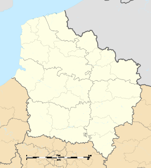
Location of Longuevillette 
| |
 Longuevillette  Longuevillette | |
| Coordinates: 50°07′48″N 2°16′27″E | |
| Country | France |
| Region | Hauts-de-France |
| Department | Somme |
| Arrondissement | Amiens |
| Canton | Doullens |
| Intercommunality | CC Territoire Nord Picardie |
| Government | |
| • Mayor (2001–2008) | Charline Thienpont |
| Area 1 | 2.06 km2 (0.80 sq mi) |
| Population (2017-01-01)[1] | 77 |
| • Density | 37/km2 (97/sq mi) |
| Time zone | UTC+01:00 (CET) |
| • Summer (DST) | UTC+02:00 (CEST) |
| INSEE/Postal code | 80491 /80600 |
| Elevation | 109–157 m (358–515 ft) (avg. 160 m or 520 ft) |
| 1 French Land Register data, which excludes lakes, ponds, glaciers > 1 km2 (0.386 sq mi or 247 acres) and river estuaries. | |
Geography
Longuevillette is situated 16 miles (26 km) north of Amiens, on the D31e road. To the north, the soil is mostly clayey, to the south, the soil is mostly silico-limestone.[2] The town is placed on a plateau that separates the courses of the Somme and the Authie.[2] Well water comes from a water table 50 meters deep.
Environmental Policy
The community rewards the three flowers award to local efforts in favor of the environment.[3]
Population
| 1962 | 1968 | 1975 | 1982 | 1990 | 1999 | 2006 |
|---|---|---|---|---|---|---|
| 41 | 66 | 58 | 55 | 69 | 60 | 75 |
| Starting in 1962: Population without duplicates | ||||||
See also
References
- "Populations légales 2017". INSEE. Retrieved 6 January 2020.
- "From the Somme to Amiens", General Lord Rawlinson : From Tragedy to Triumph, Bloomsbury Academic, 2018, doi:10.5040/9781474247016.ch-010, ISBN 9781474246989
- "List of Characters", Materializing Magic Power, Harvard University Asia Center, 2015, pp. 175–178, doi:10.2307/j.ctt1dnn9gs.13, ISBN 9781684170814
This article is issued from Wikipedia. The text is licensed under Creative Commons - Attribution - Sharealike. Additional terms may apply for the media files.