Becquigny, Somme
Becquigny is a commune in the Somme department in Hauts-de-France in northern France.
Becquigny | |
|---|---|
The town hall and school of Becquigny | |
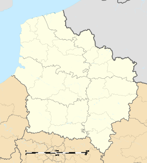
Location of Becquigny 
| |
 Becquigny  Becquigny | |
| Coordinates: 49°41′47″N 2°37′26″E | |
| Country | France |
| Region | Hauts-de-France |
| Department | Somme |
| Arrondissement | Montdidier |
| Canton | Roye |
| Intercommunality | CC Grand Roye |
| Government | |
| • Mayor (2001–2008) | Denis Soufflet |
| Area 1 | 6.04 km2 (2.33 sq mi) |
| Population (2017-01-01)[1] | 131 |
| • Density | 22/km2 (56/sq mi) |
| Time zone | UTC+01:00 (CET) |
| • Summer (DST) | UTC+02:00 (CEST) |
| INSEE/Postal code | 80074 /80500 |
| Elevation | 50–107 m (164–351 ft) (avg. 59 m or 194 ft) |
| 1 French Land Register data, which excludes lakes, ponds, glaciers > 1 km2 (0.386 sq mi or 247 acres) and river estuaries. | |
Geography
Becquigny is a small village on the left bank of the river Avre. Situated on the D214 road, some 20 miles (32 km) southeast of Amiens
Population
| Year | 1962 | 1968 | 1975 | 1982 | 1990 | 1999 | 2006 |
|---|---|---|---|---|---|---|---|
| Population | 141 | 142 | 105 | 103 | 97 | 99 | 107 |
| From the year 1962 on: No double counting—residents of multiple communes (e.g. students and military personnel) are counted only once. | |||||||
History
- Archeological investigations have found Gallo-Roman traces in the village.
- The town, mentioned for the first time in 1119, was rebuilt after being destroyed in 1163. It belonged to the Abbey of Saint Corneille of Compiègne, and the Roye family were at sometime lords of the manor.
- As with many towns of the Somme, Becquigny underwent the ravages of World War I.
Places and monuments
- In the cemetery are the ruins of a magnificent chapel that once belonged to the Order of the Templars. The 12th century gate is a fine example of Romanesque architecture.
See also
References
- "Populations légales 2017". INSEE. Retrieved 6 January 2020.
| Wikimedia Commons has media related to Becquigny (Somme). |
This article is issued from Wikipedia. The text is licensed under Creative Commons - Attribution - Sharealike. Additional terms may apply for the media files.