Minzuhar Glacier
Minzuhar Glacier (Bulgarian: ледник Минзухар, romanized: lednik Minzuhar, IPA: [ˈlɛdnik minzoˈxar]) is the 6.5 km long and 3 km wide glacier on Oscar II Coast, Graham Land in Antarctica situated southwest of Punchbowl Glacier and northeast of Jorum Glacier. It is draining from the southeast slopes of Forbidden Plateau southeastwards between Metlichina Ridge and Yordanov Nunatak to flow into Borima Bay north of Furen Point.
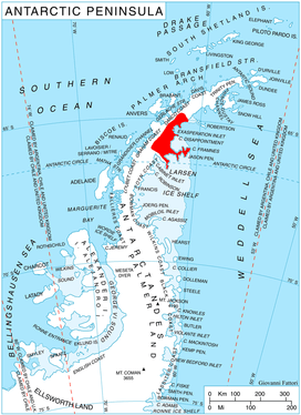
Location of Oscar II Coast on Antarctic Peninsula.
The feature is named after the settlement of Minzuhar in southern Bulgaria.
Location
Minzuhar Glacier is located at 65°09′35″S 62°08′30″W. British mapping in 1974.
Maps
- Antarctic Digital Database (ADD). Scale 1:250000 topographic map of Antarctica. Scientific Committee on Antarctic Research (SCAR), 1993–2016.
gollark: Unfortunately, you moved too much so it's bigger than anticipated.
gollark: It is now available here: http://150.230.122.2:8080/good.mp4
gollark: Again, this server is quite slow.
gollark: We will offer a more compacterererer version in more than 4 minutes.
gollark: Anyway, your video will be ready in compactified form in about 4 minutes.
References
- Minzuhar Glacier. SCAR Composite Antarctic Gazetteer.
- Bulgarian Antarctic Gazetteer. Antarctic Place-names Commission. (details in Bulgarian, basic data in English)
External links
- Minzuhar Glacier. Copernix satellite image
This article includes information from the Antarctic Place-names Commission of Bulgaria which is used with permission.
This article is issued from Wikipedia. The text is licensed under Creative Commons - Attribution - Sharealike. Additional terms may apply for the media files.