Belogradchik Glacier
Belogradchik Glacier (Bulgarian: ледник Белоградчик, romanized: lednik Belogradchik, IPA: [ˈlɛdniɡ bɛɫoɡrɐtˈt͡ʃik]) is the 14 km long and 5.6 km wide glacier in southern Aristotle Mountains on Oscar II Coast in Graham Land, Antarctica situated south of Jeroboam Glacier and west of Ambergris Glacier. It is draining the southeast slopes of Madrid Dome, and flowing southeastwards to join Flask Glacier east of Mount Fedallah.
| Belogradchik Glacier | |
|---|---|
 Location of Aristotle Mountains on the Antarctic Peninsula | |
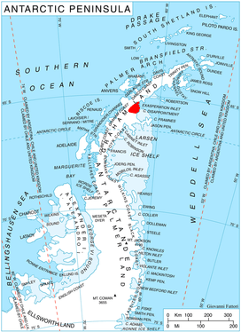
 Location of Belogradchik Glacier in Antarctica | |
| Location | Graham Land |
| Coordinates | 65°41′30″S 62°42′30″W |
| Length | 7 nmi (13 km; 8 mi) |
| Width | 3 nmi (6 km; 3 mi) |
| Thickness | unknown |
| Terminus | Flask Glacier |
| Status | unknown |
The feature is named after the town of Belogradchik in northwestern Bulgaria.
Location
Belogradchik Glacier is located at 65°41′30″S 62°42′30″W. British mapping in 1976.
gollark: There's also also spellfix, so with some work you can interface that with the FTS query thing and handle synonyms/misspelled words.
gollark: There's also a trigram tokenizer which lets you do LIKE very fast.
gollark: Yes.
gollark: SQLite also stores the position of tokens and has a stats table tracking frequency in all documents and such for better ranking.
gollark: It uses porter stemming to normalize "bee" and "bees" into "bee".
Maps
- Antarctic Digital Database (ADD). Scale 1:250000 topographic map of Antarctica. Scientific Committee on Antarctic Research (SCAR). Since 1993, regularly upgraded and updated.
References
- Belogradchik Glacier SCAR Composite Antarctic Gazetteer
- Bulgarian Antarctic Gazetteer Antarctic Place-names Commission (Bulgarian)
- Basic data (English)
External links
- Belogradchik Glacier. Copernix satellite image
This article includes information from the Antarctic Place-names Commission of Bulgaria which is used with permission.
This article is issued from Wikipedia. The text is licensed under Creative Commons - Attribution - Sharealike. Additional terms may apply for the media files.