Orizari Glacier
Orizari Glacier (Bulgarian: ледник Оризари, romanized: lednik Orizari, IPA: [ˈlɛdnik oriˈzari]) is the 3 nautical miles (5.6 km; 3.5 mi) long and 0.5 nautical miles (0.93 km; 0.58 mi) wide glacier in Veregava Ridge on the east side of Sentinel Range in Ellsworth Mountains, Antarctica. It is draining the north slopes of Mount Waldron, and flowing north-northwestwards to join Dater Glacier west of Sipey Peak.
| Orizari Glacier | |
|---|---|
 Location of Ellsworth Mountains in Western Antarctica | |
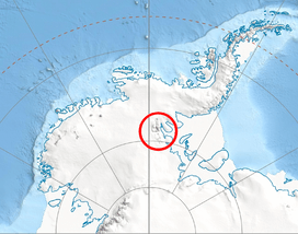
 Location of Orizari Glacier in Antarctica | |
| Type | tributary |
| Location | Ellsworth Land |
| Coordinates | 78°26′10″S 84°56′00″W |
| Length | 3 nautical miles (5.6 km; 3.5 mi) |
| Width | 0.5 nautical miles (0.93 km; 0.58 mi) |
| Thickness | unknown |
| Terminus | Dater Glacier |
| Status | unknown |
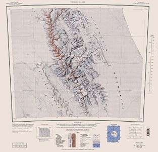
Sentinel Range map.
The feature is named after the settlements of Orizari in southern Bulgaria.
Location
Orizari Glacier is centred at 78°26′10″S 84°56′00″W. US mapping in 1988.
gollark: Ah yes, ... tree?
gollark: So apparently someone made a potatOS sandbox exploits repo.
gollark: Replying to <@290323543558717441> from https://discord.com/channels/346530916832903169/348702212110680064/746791182830403685I'm only using their search console.
gollark: We don't run ads because internet ads are apioforms.
gollark: Impressions means people who saw it in a search result, clicks is who clicked it.
Maps
- Vinson Massif. Scale 1:250 000 topographic map. Reston, Virginia: US Geological Survey, 1988.
- Antarctic Digital Database (ADD). Scale 1:250000 topographic map of Antarctica. Scientific Committee on Antarctic Research (SCAR). Since 1993, regularly updated.
References
- Orizari Glacier SCAR Composite Antarctic Gazetteer
- Bulgarian Antarctic Gazetteer. Antarctic Place-names Commission. (details in Bulgarian, basic data in English)
External links
- Orizari Glacier. Copernix satellite image
This article includes information from the Antarctic Place-names Commission of Bulgaria which is used with permission.
This article is issued from Wikipedia. The text is licensed under Creative Commons - Attribution - Sharealike. Additional terms may apply for the media files.