Commandant Charcot Glacier
Commandant Charcot Glacier (66°25′S 136°35′E) is a prominent glacier about 3 nautical miles (6 km) wide and 12 nautical miles (22 km) long, flowing north-northwest from the continental ice to its terminus at the head of Victor Bay. It was delineated from aerial photographs taken by U.S. Navy Operation Highjump, 1946–47. The French Antarctic Expedition, 1950–1952, under Mario Marret sledged west along the coast to Victor Bay, close east of this glacier, in December 1952, and it was named by them for the polar ship Commandant Charcot which transported French expeditions to this area, 1948–1952.[1][2]
| Commandant Charcot Glacier | |
|---|---|
 Location of Adelie Land in Antarctica | |
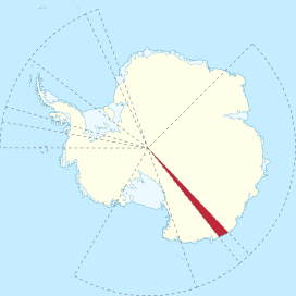
 Location of Commandant Charcot Glacier in Antarctica | |
| Location | Adélie Land |
| Coordinates | 66°25′S 136°35′E |
| Length | 12 nmi (22 km; 14 mi) |
| Width | 3 nmi (6 km; 3 mi) |
| Thickness | unknown |
| Terminus | Victor Bay |
| Status | unknown |
References
- "Commandant Charcot Glacier". Geographic Names Information System. United States Geological Survey. Retrieved 2011-11-19.
- "Commandant Charcot Glacier Glacier, Antarctica". Geographical Names. Retrieved 24 January 2018.
![]()
| Types |
| ||||||
|---|---|---|---|---|---|---|---|
| Anatomy |
| ||||||
| Processes | |||||||
| Measurements | |||||||
| Volcanic relations | |||||||
| Landforms |
| ||||||
| |||||||
Glaciers of Adélie Land | |
|---|---|