Borima Bay
Borima Bay (Bulgarian: залив Борима, romanized: zaliv Borima, IPA: [ˈzaliv ˈbɔrimɐ]) is the 6.5 km wide cove indenting for 8 km Oscar II Coast in Graham Land, Antarctica south of Diralo Point and north of Caution Point. It is part of Exasperation Inlet, Weddell Sea formed as a result of the disintegration of Larsen Ice Shelf in the area in 2002 and the subsequent retreat of Jorum Glacier and Minzuhar Glacier.
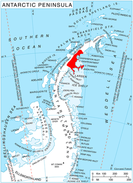
Location of Oscar II Coast on Antarctic Peninsula.
The feature is named after the settlement of Borima in northern Bulgaria.
Location
Borima Bay is located at 65°12′50″S 62°06′00″W.
Maps
- Antarctic Digital Database (ADD). Scale 1:250000 topographic map of Antarctica. Scientific Committee on Antarctic Research (SCAR), 1993–2016.
gollark: 🐍
gollark: Can you see emojis okay?
gollark: I MIGHT be.
gollark: For me the snake shows as DC0D D83D in little boxes.
gollark: I did earlier.
References
- Borima Bay. SCAR Composite Antarctic Gazetteer.
- Bulgarian Antarctic Gazetteer. Antarctic Place-names Commission. (details in Bulgarian, basic data in English)
External links
- Borima Bay. Copernix satellite image
This article includes information from the Antarctic Place-names Commission of Bulgaria which is used with permission.
This article is issued from Wikipedia. The text is licensed under Creative Commons - Attribution - Sharealike. Additional terms may apply for the media files.