Kladorub Glacier
Kladorub Glacier (Bulgarian: ледник Кладоруб, romanized: lednik Kladorub, IPA: [ˈlɛdnik kɫɐdoˈrup]) is the 14 km long and 3.5 km wide glacier on Nordenskjöld Coast in Graham Land situated southwest of Aleksiev Glacier and northeast of Vrachesh Glacier. It drains the southeast slopes of Detroit Plateau, flows southeastwards between Cruyt Spur and Papiya Nunatak, and turns east to enter Desislava Cove in Weddell Sea. The feature is named after the settlement of Kladorub in Northwestern Bulgaria.
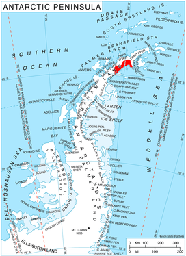
Location of Nordenskjöld Coast on Antarctic Peninsula.
Location
Kladorub Glacier is located at 64°39′20″S 60°37′00″W. British mapping in 1978.
Maps
- British Antarctic Territory. Scale 1:200000 topographic map. DOS 610 Series, Sheet W 64 60. Directorate of Overseas Surveys, Tolworth, UK, 1978.
- Antarctic Digital Database (ADD). Scale 1:250000 topographic map of Antarctica. Scientific Committee on Antarctic Research (SCAR), 1993–2016.
gollark: Some sort of convoluted new model of the universe based on electricity or something does *not* do that.
gollark: Are you aware of the "correspondence principle"? It basically just means that your new theory has to match with all the previously found empirical evidence for other theories.
gollark: I don't think you understand what I'm asking here.
gollark: How can you distinguish these "birkeland currents" from the well-known and documented phenomenon of "gravity" and whatever else?
gollark: What does that actually *mean* in practice?
References
- Kladorub Glacier. SCAR Composite Antarctic Gazetteer.
- Bulgarian Antarctic Gazetteer. Antarctic Place-names Commission. (details in Bulgarian, basic data in English)
External links
- Kladorub Glacier. Copernix satellite image
This article includes information from the Antarctic Place-names Commission of Bulgaria which is used with permission.
This article is issued from Wikipedia. The text is licensed under Creative Commons - Attribution - Sharealike. Additional terms may apply for the media files.