Berisad Glacier
Berisad Glacier (Bulgarian: ледник Берисад, romanized: lednik Berisad, IPA: [ˈlɛdniɡ ˈbɛrisɐt]) is a glacier 3 nmi (6 km; 3 mi) long and 1 nmi (2 km; 1 mi) wide in Veregava Ridge, central Sentinel Range in Ellsworth Mountains, Antarctica. It flows north-northwestwards from Kushla Peak to join Dater Glacier northeast of Sipey Peak.[1]
| Berisad Glacier | |
|---|---|
 Location of Sentinel Range in Western Antarctica | |
 Location of Berisad Glacier in Antarctica | |
| Location | Ellsworth Land |
| Coordinates | 78°25′20″S 84°51′50″W |
| Length | 3 nmi (6 km; 3 mi) |
| Width | 1 nmi (2 km; 1 mi) |
| Thickness | unknown |
| Terminus | Dater Glacier |
| Status | unknown |

Sentinel Range map.
The glacier is named after the Thracian King Berisad, 358-352 BC.
Location
Berisad Glacier is centred at 78°25′20″S 84°51′50″W. US mapping in 1961, updated in 1988.
gollark: Even I can make nicer cuboids.
gollark: (Software defined radios. They can tune to large ranges of frequencies, and do the (de)modulation on a computer instead of specialized hardware. I have a £30 SDR receiver which can receive anything between 24MHz and ~1.7GHz, though it's obviously limited a lot by antennas)
gollark: <@229624651314233346> I'm pretty sure you're wrong about the "radios use one crystal for each band" thing, given the existence of SDRs.
gollark: <@229624651314233346> Install potatOS today!
gollark: Actually, you may want to use LoRa directly and just fix it at a low data rate or something, not LoRaWAN. I've never actually used it, I just know it seems a reasonable option for this.
Maps
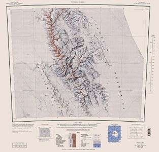
- Vinson Massif. Scale 1:250 000 topographic map. Reston, Virginia: US Geological Survey, 1988.
- Antarctic Digital Database (ADD). Scale 1:250000 topographic map of Antarctica. Scientific Committee on Antarctic Research (SCAR). Since 1993, regularly updated.
Notes
- Berisad Glacier. SCAR Composite Antarctic Gazetteer.
References
- Bulgarian Antarctic Gazetteer. Antarctic Place-names Commission. (details in Bulgarian, basic data in English)
External links
- Berisad Glacier. Copernix satellite image
This article includes information from the Antarctic Place-names Commission of Bulgaria which is used with permission.
This article is issued from Wikipedia. The text is licensed under Creative Commons - Attribution - Sharealike. Additional terms may apply for the media files.