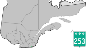
Quebec Route 253
Route 253 is a north/south highway on the south shore of the St. Lawrence River. Its northern terminus is in East Angus at Route 112 and its southern terminus is at the Vermont border, where it becomes Vermont Route 253.
| ||||
|---|---|---|---|---|
 | ||||
| Route information | ||||
| Maintained by Transports Québec | ||||
| Length | 62.4 km[1] (38.8 mi) | |||
| Major junctions | ||||
| South end | ||||
| North end | ||||
| Location | ||||
| Counties | Coaticook / Le Haut-Saint-François | |||
| Highway system | ||||
| ||||

Municipalities along Route 253
- East Hereford
- Saint-Venant-de-Paquette
- Saint-Malo
- Saint-Isidore-de-Clifton
- Cookshire-Eaton
- Westbury
- East Angus
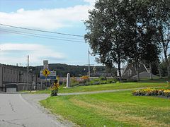 Route 253 southern end at the Canada-US border.
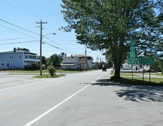 Junction of Routes 210 and 253 in Sawyerville.
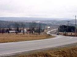 Eaton-Sawyerville Road (Routes 210 and 253) near Eaton.
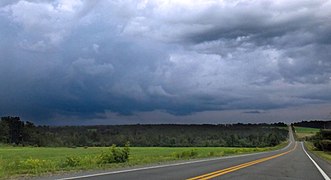 Route 253 near Cookshire.
gollark: No.
gollark: My just-completed NuclearCraft chemical processing plant.
gollark: Ah, well, as someone on 1.12 for mods I *don't*.
gollark: Yes, because it has no decent modding API.
gollark: You can probably get rid of quite a lot of those mods without affecting the pack much.
See also
References
- Ministère des transports, "Distances routières", page 89, Les Publications du Québec, 2005
External links
- Route 253 on Google Maps
- Provincial Route Map (Courtesy of the Quebec Ministry of Transportation) (in French)
This article is issued from Wikipedia. The text is licensed under Creative Commons - Attribution - Sharealike. Additional terms may apply for the media files.