Stokes River
The Stokes River, a perennial river of the Glenelg Hopkins catchment, is located in the Western District of Victoria, Australia.
| Stokes | |
|---|---|
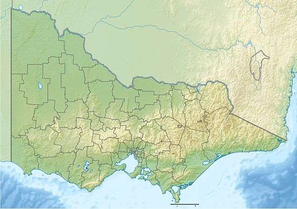 Location of the Stokes River mouth in Victoria | |
| Location | |
| Country | Australia |
| State | Victoria (Australia) |
| Region | Victorian Midlands, Naracoorte Coastal Plain (IBRA), Western District |
| Local government area | Glenelg Shire |
| Physical characteristics | |
| Source | |
| • location | east of Digby |
| • coordinates | 37°48′1″S 141°34′51″E |
| • elevation | 140 m (460 ft) |
| Mouth | confluence with Glenelg River |
• location | north of Dartmoor |
• coordinates | 37°52′54″S 141°18′0″E |
• elevation | 23 m (75 ft) |
| Length | 35 km (22 mi) |
| Basin features | |
| River system | Glenelg Hopkins catchment |
| Tributaries | |
| • left | Humpy Creek, Bobby Creek, McKenzie Creek (Victoria), Teakettle Creek |
| • right | Buckle Creek, Morgan Creek (Victoria) |
| [1] | |
Course and features
The Stokes River rises northeast of Digby, and flows generally west by south, joined by six minor tributaries, before reaching its confluence with the Glenelg River north of Dartmoor. The river descends 117 metres (384 ft) over its 35-kilometre (22 mi) course.[1]
gollark: Says the UTTER removable singularity.
gollark: Apiaristic purposes (category 1982UFH).
gollark: Randomly cease to exist and appear 1021486124 nanoseconds later.
gollark: See, physics forbids anyone from knowing if I am quantum or not.
gollark: The apiaristic uncertainty principle forbids this.
References
- "Map of Stokes River, VIC". Bonzle Digital Atlas of Australia. Retrieved 22 June 2014.
|
This article is issued from Wikipedia. The text is licensed under Creative Commons - Attribution - Sharealike. Additional terms may apply for the media files.