Red River (Victoria)
The Red River is a perennial river with no defined major catchment, located in the East Gippsland region of the Australian state of Victoria.
| Red | |
|---|---|
 Red River in Victoria | |
| Location | |
| Country | Australia |
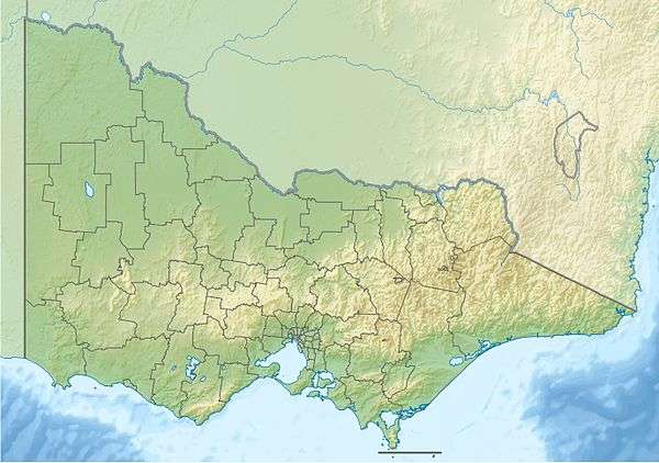
| State | Victoria |
| Region | South East Corner (IBRA), East Gippsland |
| Local government area | Shire of East Gippsland |
| Physical characteristics | |
| Source | |
| • location | Croajingolong National Park |
| • elevation | 152 m (499 ft) |
| Mouth | Bass Strait |
• location | southwest of Sandpatch Point |
• coordinates | 37°43′30″S 149°33′49″E |
• elevation | 0 m (0 ft) |
| Length | 7 km (4.3 mi) |
| Basin features | |
| National park | Croajingolong NP |
| [1][2] | |
Course and features
The Red River rises in remote country in the Benedore River Reference Area in the Croajingolong National Park, and flows generally south by east, before reaching its mouth with Bass Strait southwest of Sandpatch Point in the Shire of East Gippsland. The river descends 152 metres (499 ft) over its 7 kilometres (4.3 mi) course.[2]
gollark: The UK apparently has anomalously high population density so [RURAL AREA REDACTED] isn't very isolated compared to US rural areas, given that you can feasibly drive across England in 10 hours or so.
gollark: Personally, I do not actually have ”guns” and I use headphones for music.
gollark: Anyway, ignoring the whole pandemic situation, which is probably temporary, I would really much prefer to be in a city than [RURAL AREA REDACTED], where I am now.
gollark: I have no idea what the constitution over in USland actually says about this, but people just ignore it anyway.
gollark: Probably!
References
- "Red River: 24211". Vicnames. Government of Victoria. 2 May 1966. Archived from the original on 9 January 2014. Retrieved 9 January 2014.
- "Map of Red River, VIC". Bonzle Digital Atlas of Australia. Retrieved 9 January 2014.
External links
- "East Gippsland Catchment Management Authority website". Government of Victoria.
Rivers of the East Gippsland catchment, Victoria, Australia | |
|---|---|
| Genoa River | |
| Cann River | |
| Bemm River | |
| Snowy River | |
| Mitchell River | |
| No defined sub-catchment | |
| |
This article is issued from Wikipedia. The text is licensed under Creative Commons - Attribution - Sharealike. Additional terms may apply for the media files.