Grey River (Victoria)
The Grey River is a perennial river of the Corangamite catchment, located in The Otways region of the Australian state of Victoria.
| Grey | |
|---|---|
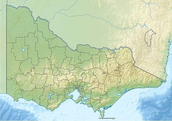 Location of the Grey River mouth in Victoria | |
| Location | |
| Country | Australia |
| State | Victoria |
| Region | South East Coastal Plain (IBRA), The Otways |
| Local government area | Colac Otway Shire |
| Physical characteristics | |
| Source | Otway Ranges |
| • location | below Muddy Saddle |
| • coordinates | 38°37′54″S 143°47′18″E |
| • elevation | 491 m (1,611 ft) |
| Mouth | Addis Bay, Bass Strait |
• location | Grey River (town) |
• coordinates | 38°40′58″S 143°50′27″E |
• elevation | 0 m (0 ft) |
| Length | 9 km (5.6 mi) |
| Basin features | |
| River system | Corangamite catchment |
| National park | Great Otway National Park |
| [1][2] | |
Location and features
The Grey River rises in the Otway Ranges in southwest Victoria and flows generally east by south towards the town of Grey River where the river reaches its mouth and empties into Addis Bay, part of Bass Strait, north of Cape Otway. From its highest point, the river descends 491 metres (1,611 ft) over its 9-kilometre (5.6 mi) course.[2]
gollark: Well, there are the pragmatic grounds, really, like that, and the more terminal-goal-y one of "this much information on people is kind of icky".
gollark: There's not really much more to say, to be honest.
gollark: Well, the NSA and other TLAs don't really affect people's lives much, regardless of how much abstract badness surrounds them.
gollark: The NSA and whatnot probably mostly focus on h4xxing the endpoints and stuff more than actually breaking encryption on in-transit communications, given that the encryption used is pretty good generally.
gollark: UK government being insane as usual and claiming that end-to-end encryption threatens "lives and the safety of our children". Of all things...<https://www.bbc.co.uk/news/technology-49919464>
References
- "Grey River: 3333". Vicnames. Government of Victoria. 2 May 1966. Archived from the original on 2 June 2014. Retrieved 1 June 2014.
- "Map of Grey River, VIC". Bonzle Digital Atlas of Australia. Retrieved 1 June 2014.
External links
- "Great Otway National Park". Parks Victoria. Government of Victoria. 2014.
- "Corangamite Catchment Management Authority". Government of Victoria. 2014. Archived from the original on 12 May 2014.
Rivers of the Corangamite catchment, Victoria, Australia | |
|---|---|
|
This article is issued from Wikipedia. The text is licensed under Creative Commons - Attribution - Sharealike. Additional terms may apply for the media files.