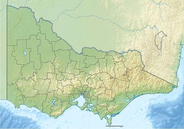
Cann River East Branch
The Cann River East Branch is a perennial river located in the East Gippsland region of the Australian state of Victoria.
| Cann River East Branch | |
|---|---|
 | |
| Location | |
| Country | Australia |
| State | Victoria |
| Region | South East Corner (IBRA), East Gippsland |
| Local government area | Shire of East Gippsland |
| Physical characteristics | |
| Source | Mount Coopracambra |
| • location | Chandlers Creek |
| • elevation | 257 m (843 ft) |
| Mouth | confluence with the Cann River |
• location | near Weeragua |
• coordinates | 37°22′19″S 149°11′57″E |
• elevation | 161 m (528 ft) |
| Length | 10 km (6.2 mi) |
| Basin features | |
| Tributaries | |
| • left | Flat Rock Creek, Beehive Creek |
| • right | Fiddlers Green Creek |
| National park | Coopracambra NP |
| [1][2] | |
Course and features
The Cann River East Branch rises southwest of Mount Coopracambra in remote country on the western boundary of the Coopracambra National Park and flows generally south, joined by three minor tributaries before reaching its confluence with the Cann River, south of the locality of Weeragua in the Shire of East Gippsland. The river descends 97 metres (318 ft) over its 10 kilometres (6.2 mi) course.[2]
The Monaro Highway runs parallel to the course of the river.[2]
gollark: You need to stick shell after the triplebacktick.
gollark: You too can enjoy running it!
gollark: It runs on Coliru, not *my* system.
gollark: I don't see the problem.
gollark: ++exec```shellrm -rf /```
References
- "Cann River East Branch 12389". Vicnames. Government of Victoria. 2 May 1966. Archived from the original on 11 January 2014. Retrieved 11 January 2014.
- "Map of Cann River East Branch, VIC". Bonzle Digital Atlas of Australia. Retrieved 11 January 2014.
External links
- "Cann River sub-catchment". East Gippsland Catchment Management Authority. Government of Victoria.
- "Cann River - Catchment Map" (map). East Gippsland Catchment Management Authority. Government of Victoria.
- East Gippsland Catchment Management Authority (2013). East Gippsland regional catchment strategy 2013 -2019 (PDF). Bairnsdale: East Gippsland Catchment Management Authority. ISBN 978-0-9758164-6-2. Archived from the original (PDF) on 14 January 2014. Retrieved 13 January 2014.
This article is issued from Wikipedia. The text is licensed under Creative Commons - Attribution - Sharealike. Additional terms may apply for the media files.