Benedore River
The Benedore River is a perennial river with no defined major catchment, located in the East Gippsland region of the Australian state of Victoria.
| Benedore | |
|---|---|
.jpg) Sunset over the Sandpatch Wilderness Area, Benedore River Estuary. Croajingolong National Park, Victoria | |
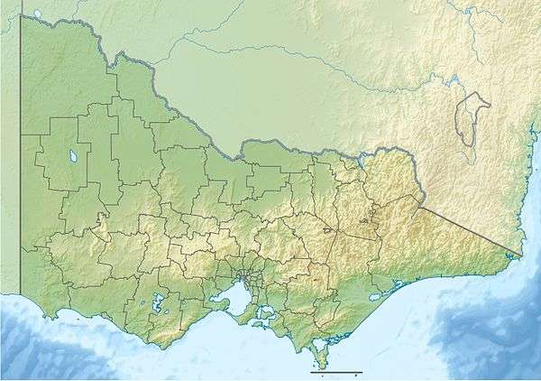 Benedore River in Victoria | |
| Location | |
| Country | Australia |
| State | Victoria |
| Region | South East Corner (IBRA), East Gippsland |
| Local government area | Shire of East Gippsland |
| Physical characteristics | |
| Source | |
| • location | Benedore River Reference Area |
| • elevation | 184 m (604 ft) |
| Mouth | Bass Strait |
• location | Croajingolong National Park |
• coordinates | 37°41′57″S 149°37′20″E |
• elevation | 0 m (0 ft) |
| Length | 11 km (6.8 mi) |
| Basin features | |
| National park | Croajingolong NP |
| [1][2] | |
Course and features
The Benedore River rises in the Benedore River Reference Area and flows generally south southeast, through the Seal Creek Reference Area, before reaching its mouth with Bass Strait within the Croajingolong National Park in the Shire of East Gippsland. The river descends 184 metres (604 ft) over its 11-kilometre (6.8 mi) course.[2]
The four beaches at the river mouth, south of Mallacoota, form a naturally occurring dam resulting in a 1 kilometre (0.62 mi) long, narrow, winding lake behind the southeast sea-facing beaches.[3][4][5][6]
gollark: Try defining `sendRemote` in the receiver as `_G.sendRemote` instead!
gollark: Ah, I misread it, the problems I thought were problems were not problems.
gollark: That too, I missed that.
gollark: Ah, so there are several problems here.
gollark: I mean, it might internally, but it works fine anyway.
References
- "Benedore River: 10492". Vicnames. Government of Victoria. 2 May 1966. Archived from the original on 8 January 2014. Retrieved 8 January 2014.
- "Map of Benedore River, VIC". Bonzle Digital Atlas of Australia. Retrieved 8 January 2014.
- "Benedore River 1". BeachSafe. Surf Life Saving Australia. 2014. Retrieved 8 January 2014.
- "Benedore River 2". BeachSafe. Surf Life Saving Australia. 2014. Retrieved 8 January 2014.
- "Benedore River 3". BeachSafe. Surf Life Saving Australia. 2014. Retrieved 8 January 2014.
- "Benedore River 4". BeachSafe. Surf Life Saving Australia. 2014. Retrieved 8 January 2014.
External links
- "East Gippsland Catchment Management Authority website". Government of Victoria.
Rivers of the East Gippsland catchment, Victoria, Australia | |
|---|---|
| Genoa River | |
| Cann River | |
| Bemm River | |
| Snowy River | |
| Mitchell River | |
| No defined sub-catchment | |
| |
This article is issued from Wikipedia. The text is licensed under Creative Commons - Attribution - Sharealike. Additional terms may apply for the media files.