Little Coliban River
The Little Coliban River, a minor inland perennial river of the north–central catchment, part of the Murray-Darling basin, is located in the lower Riverina bioregion and Central Highlands region of the Australian state of Victoria. The headwaters of the Little Coliban River rise on the northern slopes of the Great Dividing Range and descend to flow north into the Coliban River within the impounded Upper Coliban Reservoir.
| Little Coliban | |
|---|---|
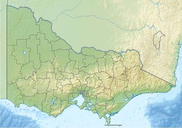
 Location of the Coliban River mouth in Victoria | |
| Location | |
| Country | Australia |
| State | Victoria |
| Region | Riverina bioregion (IBRA), Central Highlands |
| Local government area | Macedon Ranges |
| Physical characteristics | |
| Source | Great Dividing Range |
| • location | below Goodfellows Hill, near Tylden |
| • coordinates | 37°19′56″S 144°24′45″E |
| • elevation | 574 m (1,883 ft) |
| Mouth | confluence with the Coliban River |
• location | Upper Coliban Reservoir |
• coordinates | 37°17′27″S 144°23′55″E |
• elevation | 501 m (1,644 ft) |
| Length | 12 km (7.5 mi) |
| Basin features | |
| River system | Victorian north–central catchment, Murray-Darling basin |
| Reservoir | Upper Coliban Reservoir |
| [1] | |
Location and features
The river rises below Goodfellows Hill near Tylden in the Great Dividing Range and flows generally north, before reaching its confluence with the Coliban River within the Upper Coliban Reservoir. The river descends 73 metres (240 ft) over its 12-kilometre (7.5 mi) course.[1]
gollark: --userdata list % global yes
gollark: --userdata list % local yes
gollark: --userdata list bee% local yes
gollark: --userdata list bee% local
gollark: --userdata set lyricly bad
References
- "Map of Little Coliban River, VIC". Bonzle Digital Atlas of Australia. Retrieved 20 October 2014.
External links
- "Loddon–Campaspe". Murray-Darling Basin Authority. Australian Government. 2014. Archived from the original on 23 October 2014.
- "Campaspe River longitudinal profile" (PDF). Murray-Darling Basin Authority (PDF). Australian Government. Archived from the original (PDF) on 15 February 2014.
- "Campaspe". Our rivers. Environment Victoria.
This article is issued from Wikipedia. The text is licensed under Creative Commons - Attribution - Sharealike. Additional terms may apply for the media files.