Merri River
The Merri River, a perennial river of the Glenelg Hopkins catchment, is located in the Western District of Victoria, Australia.
| Merri | |
|---|---|
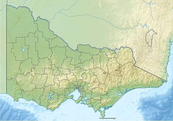 Location of the Merri River mouth in Victoria | |
| Etymology | Aboriginal: meaning "rocky"[1] |
| Location | |
| Country | Australia |
| State | Victoria |
| Region | Victorian Midlands (IBRA), Western District |
| Local government area | Moyne Shire, Warrnambool |
| Town | Warrnambool |
| Physical characteristics | |
| Source | Confluence of Spring Creek and Drysdale Creek |
| • location | near Bushfield |
| • coordinates | 38°16′52″S 142°32′22″E |
| • elevation | 18 m (59 ft) |
| Mouth | Stingray Bay, Southern Ocean |
• location | Pickering Point, near Warrnambool |
• coordinates | 38°24′4″S 142°28′15″E |
• elevation | 0 m (0 ft) |
| Length | 31 km (19 mi) |
| Basin features | |
| River system | Glenelg Hopkins catchment |
| Tributaries | |
| • left | Russell Creek (Victoria), Sawpit Creek |
| [2] | |
Course and features
Formed by the confluence of the Spring Creek and Drysdale Creek, to the east of Grassmere. It flows generally south joined by two minor tributaries before reaching its mouth and emptying into Stingray Bay, part of the Southern Ocean, near the city of Warrnambool. The river descends 18 metres (59 ft) over its 31-kilometre (19 mi) course.[2]. Spring Creek starts to the east of Penshurst, just north of the Hamilton Highway while Drysdale Creek starts near the Woolsthorpe-Hexham Road.
Etymology
The river derives its name from an Aboriginal word meaning "rocky".[1]
gollark: ```javascript// ==UserScript==// @name DC Egg Time Getter// @namespace http://tampermonkey.net/// @match https://dragcave.net/view/*// @grant none// ==/UserScript==function getCapture(text, regex, def) { const result = text.match(regex); if (result === null || result === undefined) { if (def === undefined) { throw new Error("Text did not match regex."); } else { return def; } } else { return result[1]; }}const text = document.body.textContent;const days = parseInt(getCapture(text, /in: (\d+) day/, 0));const hours = parseInt(getCapture(text, /and (\d+) hour/, 0));const allHours = (days * 24) + hours;const storage = window.localStorage;const lastTime = storage.remainingTime;console.log("Time Remaining:", allHours);// check for low-ER timesif (allHours < 72) { console.log("Egg/Hatchling in low ER!"); if (lastTime !== allHours.toString()) { const d = new Date(); localStorage.changeTime = d.getTime().toString(); console.log("WAS", lastTime, "NOW", allHours) console.log("Hour Change Time FOUND!"); } else { storage.remainingTime = allHours; setTimeout(() => window.location.reload(), 2000); }}```Probably suboptimal, but I was in a hurry.
gollark: It worked quite well, though I did have to manually narrow them down a bit.
gollark: To get around all the work of refreshing for an hour, I made a userscript to refresh every few seconds and check if the time changes.
gollark: I did *almost* that.
gollark: Free, want ND or 2G prize.
References
- Bird, Eric (12 October 2006). "Place Names on the Coast of Victoria" (PDF). Australian National Placename Survey (ANPS). Archived from the original (PDF) on 10 February 2011. Retrieved 10 September 2010.
- "Map of Merri River, VIC". Bonzle Digital Atlas of Australia. Retrieved 21 June 2014.
External links
- "Glenelg Hopkins Catchment Management Authority". Government of Victoria. 2014.
|
This article is issued from Wikipedia. The text is licensed under Creative Commons - Attribution - Sharealike. Additional terms may apply for the media files.