Ford River (Victoria)
The Ford River is a perennial river of the Corangamite catchment, located in The Otways region of the Australian state of Victoria.
| Ford | |
|---|---|
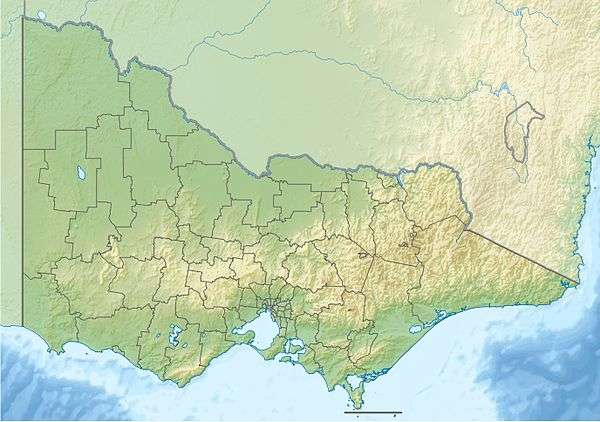 Location of the Ford River mouth in Victoria | |
| Location | |
| Country | Australia |
| State | Victoria |
| Region | South East Coastal Plain (IBRA), The Otways |
| Local government area | Colac Otway Shire |
| Physical characteristics | |
| Source | Otway Ranges |
| • location | near Lavers Hill |
| • coordinates | 38°40′03″S 143°22′28″E |
| • elevation | 448 m (1,470 ft) |
| Source confluence | East and West Branches of the Ford River |
| • coordinates | 38°44′21″S 143°26′7″E |
| Mouth | confluence with the Aire River |
• location | east of Glenaire |
• coordinates | 38°46′51″S 143°27′59″E |
• elevation | 0 m (0 ft) |
| Length | 15 km (9.3 mi) |
| Basin features | |
| River system | Corangamite catchment |
| National park | Port Campbell National Park |
| [1][2][3][4][5] | |
Location and features
The headwaters of the Ford River rise in the Otway Ranges in southwest Victoria, near Lavers Hill and flows generally east by south through the Port Campbell National Park towards the town of Glenaire where the river heads east and reaches its confluence with the Aire River, northwest of Cape Otway. From its highest point, the river descends 386 metres (1,266 ft) over its 15-kilometre (9.3 mi) course.[4][5]
gollark: If you find *one* example of it behaving oddly, that makes it NONCOMPLIANT and EVIL.
gollark: I mean, it doesn't matter to abby's complaint that it is not a real sort.
gollark: It could probably be done.
gollark: Linux has USB device whitelisting, but nobody uses it.
gollark: MacOS is getting that, actually.
References
- "Ford River: 2829". Vicnames. Government of Victoria. 2 May 1966. Archived from the original on 2 June 2014. Retrieved 1 June 2014.
- "Ford River East Branch: 2830". Vicnames. Government of Victoria. 2 May 1966. Archived from the original on 2 June 2014. Retrieved 1 June 2014.
- "Ford River West Branch: 2831". Vicnames. Government of Victoria. 2 May 1966. Archived from the original on 5 June 2014. Retrieved 1 June 2014.
- "Map of Ford River, VIC". Bonzle Digital Atlas of Australia. Retrieved 1 June 2014.
- "Map of Ford River (West Branch), VIC". Bonzle Digital Atlas of Australia. Retrieved 1 June 2014.
External links
- "Great Otway National Park". Parks Victoria. Government of Victoria. 2014.
- "Corangamite Catchment Management Authority". Government of Victoria. 2014. Archived from the original on 12 May 2014.
Rivers of the Corangamite catchment, Victoria, Australia | |
|---|---|
|
This article is issued from Wikipedia. The text is licensed under Creative Commons - Attribution - Sharealike. Additional terms may apply for the media files.