D35 road (Croatia)
D35 is a state road in the northwestern Croatia connecting Sveti Križ Začretje and the A2 motorway Sveti Križ Začretje interchange to Varaždin and the A4 motorway Varaždin interchange.[1][maps 1] The road is 46.0 km (28.6 mi) long.[2]
| |
|---|---|
| Route information | |
| Length | 46.0 km (28.6 mi) |
| Major junctions | |
| From | |
| To | |
| Location | |
| Counties | Krapina-Zagorje, Varaždin |
| Major cities | Varaždin, Ivanec, Lepoglava |
| Highway system | |
| State roads in Croatia | |

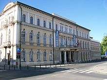
Varaždin, near the northern terminus of the D35 road
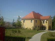
Ivanec, on the D35 road route
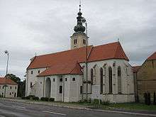
Lepoglava, on the D35 road route
The road, as well as all other state roads in Croatia, is managed and maintained by Hrvatske ceste, state owned company.[3]
Traffic volume
Traffic is regularly counted and reported by Hrvatske ceste, operator of the road.[4]
| D35 traffic volume | ||||
| Road | Counting site | AADT | ASDT | Notes |
| 1213 Greda | 5,250 | 4,936 | Adjacent to the Ž2063 junction. Average daily traffic figure is provided instead of AADT. | |
| 1216 Kaniža - west | 4,294 | 4,548 | Between the Ž2084 and Ž2102 junctions. | |
| 1123 Gornja Šemnica | 1,938 | 1,670 | Between the Ž122 and Ž2122 junction. The AADT figure estimated by Hrvatske ceste. | |
Road junctions and populated areas
| D35 junctions/populated areas | |
| Type | Slip roads/Notes |
| Nedeljanec Ž2061 to Krkanec and Tužno. The eastern terminus of the road. | |
| Vidovec | |
| Jurketinec | |
| Ž2029 to Biljevec and Vinica. | |
| Greda | |
| Ž2063 to Tužno, Črešnjevo and Beretinec. | |
| Ž2059 to Koškovec and Klenovnik. | |
| Ž2105 to Salinovec, Pece and Završje Podbelsko. | |
| Ž2104 to Punikve. | |
| Ivanec Ž2103 within the town. Ž2085 to Prigorec | |
| Kaniža Ž2084 to Dubrovec. | |
| Lepoglava Ž2101 to Bedenec and Jerovec. Ž2102 within the town. | |
| Muričevec | |
| Novi Golubovec | |
| Ž2127 to Gora Veternička. | |
| Kuzminec | |
| Ž2125 to Mihovljan and Sutinske Toplice. | |
| Ž2122 to Radoboj, Trški Vrh and Krapina (D1). | |
| Donja Šemnica | |
| Ž2240 to Lepajci (D1). | |
| Švaljkovec Ž2160 to Sveti Križ Začretje. The western terminus of the road. | |
Maps
- Overview map of the D35 (Map). OpenStreetMap. Retrieved July 24, 2014.
Sources
- "Regulation on motorway markings, chainage, interchange/exit/rest area numbers and names". Narodne novine (in Croatian). April 24, 2003. Archived from the original on October 4, 2011. Retrieved August 9, 2010.
- Ministry of Sea, Transport and Infrastructure (Croatia) (June 4, 2013). "Decision on categorization of public roads" (in Croatian). Narodne novine. Retrieved July 24, 2014.
- "Public Roads Act". Narodne novine (in Croatian). December 14, 2004.
- "Traffic counting on the roadways of Croatia in 2013 - digest" (PDF). Hrvatske ceste. May 2014. Archived from the original (PDF) on 2014-07-29. Retrieved 2014-07-24.
- "Map of border crossings and customs office areas" (PDF). Customs Administration of the Republic of Croatia (in Croatian). March 6, 2008.
gollark: Yes, all is to be encoded as turing-complete move operations and page faults.
gollark: You want to make it so that you don't do too much work, regular users aren't inconvenienced much, and on the fence people will find it easier to get it officially than pirate.
gollark: Make a mildly irritating to get around but simple system which won't get in the way probably maybe?
gollark: Oh, and also having to contact you if you switch computers is ridiculously awful.
gollark: <@738361430763372703>, consider; even if the average user cannot thwart your copy protection, one palaiologistic user can deobfuscate it and just release a pirated version.
This article is issued from Wikipedia. The text is licensed under Creative Commons - Attribution - Sharealike. Additional terms may apply for the media files.