Claret, Hérault
Claret is a commune in the Hérault department in southern France.
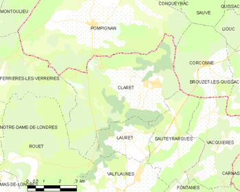
Geographic map of Claret within Hérault
Claret | |
|---|---|
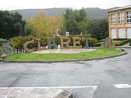 Sculpture made by a local craftsman in local quarry stone at the entrance of the village, before the bridge over the Brestalou. In the background is the Crête de Taillade. | |
.svg.png) Coat of arms | |
Location of Claret 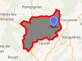
| |
 Claret  Claret | |
| Coordinates: 43°51′46″N 3°54′20″E | |
| Country | France |
| Region | Occitanie |
| Department | Hérault |
| Arrondissement | Lodève |
| Canton | Lodève |
| Intercommunality | Orthus |
| Government | |
| • Mayor (2008–2014) | André Cot |
| Area 1 | 28.27 km2 (10.92 sq mi) |
| Population (2017-01-01)[1] | 1,563 |
| • Density | 55/km2 (140/sq mi) |
| Time zone | UTC+01:00 (CET) |
| • Summer (DST) | UTC+02:00 (CEST) |
| INSEE/Postal code | 34078 /34270 |
| Elevation | 135–410 m (443–1,345 ft) (avg. 115 m or 377 ft) |
| 1 French Land Register data, which excludes lakes, ponds, glaciers > 1 km2 (0.386 sq mi or 247 acres) and river estuaries. | |
Population
| Year | Pop. | ±% |
|---|---|---|
| 1962 | 468 | — |
| 1968 | 468 | +0.0% |
| 1975 | 476 | +1.7% |
| 1982 | 526 | +10.5% |
| 1990 | 825 | +56.8% |
| 1999 | 1,069 | +29.6% |
| 2008 | 1,364 | +27.6% |
gollark: Santa, and also SPUDNET now.
gollark: Not updates, though, those run straight off pastebin.
gollark: SPUDNET is the backend system handling potatOS incident reports and remote debugging.
gollark: Your evil action has been reported to SPUDNET.
gollark: ++magic py 2**512
See also
References
- "Populations légales 2017". INSEE. Retrieved 6 January 2020.
| Wikimedia Commons has media related to Claret (Hérault). |
| Authority control |
|
|---|
This article is issued from Wikipedia. The text is licensed under Creative Commons - Attribution - Sharealike. Additional terms may apply for the media files.