Sandy Creek (Richmond Valley)
The Sandy Creek, a perennial stream[1] of the Richmond River catchment, is located in Northern Rivers region in the state of New South Wales, Australia.
| Sandy Creek | |
|---|---|
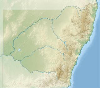 Location of the Sandy Creek mouth in New South Wales | |
| Location | |
| Country | Australia |
| State | New South Wales |
| Region | NSW North Coast (IBRA), Northern Rivers |
| LGA | Richmond Valley |
| Physical characteristics | |
| Source | |
| • location | near Busbys Flat |
| Mouth | confluence with the Richmond River |
• location | Bungawalbin |
• coordinates | 29°1′53″S 153°15′47″E |
| Length | 55 km (34 mi) |
| Basin features | |
| River system | Richmond River catchment |
| [1] | |
Location and features
Sandy Creek rises about 4 kilometres (2.5 mi) north of the village of Busbys Flat. The river flows generally east, north, east, and then south before reaching its confluence with the Richmond River near Bungawalbin, south of Coraki. The river flows for approximately 55 kilometres (34 mi) over its course.[1]
gollark: <@319753218592866315> You ARE to make Macron.
gollark: Note that bees are converging on your location.
gollark: Good evening, o ly of the lyrics.
gollark: Also, arbitrary decisioning: monospace font or not monospace font?
gollark: Clearly the only ethical way to draw images is by manually writing SVGs.
See also
- Rivers of New South Wales
- List of rivers of New South Wales (L-Z)
- List of rivers of Australia
References
- "Sandy Creek". Geographical Names Register (GNR) of NSW. Geographical Names Board of New South Wales. Retrieved 2 October 2013.

External links
- "Richmond River catchment" (map). Office of Environment and Heritage. Government of New South Wales.
River systems and rivers of the Northern Rivers catchments, New South Wales, Australia | |
|---|---|
| Tweed Shire and Tweed River | |
| Byron Shire and Brunswick River | |
| Richmond Valley and Richmond River | |
| Clarence Valley and Clarence River |
|
| Coffs Harbour, Bellingen Shire, and Bellinger River | |
| Nambucca Shire, Kempsey Shire, and Nambucca-Macleay rivers | |
| Port Macquarie-Hastings and Hastings River | |
| |
This article is issued from Wikipedia. The text is licensed under Creative Commons - Attribution - Sharealike. Additional terms may apply for the media files.