Hillsboro, Missouri
Hillsboro is a city in Jefferson County, Missouri, United States. The population was 2,821 at the 2010 census. Hillsboro is the county seat of Jefferson County.[7]
Hillsboro, Missouri | |
|---|---|
 Jefferson County Courthouse in Hillsboro | |
| Nickname(s): The Boro | |
 Location of Hillsboro, Missouri | |
| Coordinates: 38°13′56″N 90°33′48″W | |
| Country | United States |
| State | Missouri |
| County | Jefferson |
| Incorporated | 1839 |
| Government | |
| • Mayor | Joe Phillips[1] |
| Area | |
| • Total | 3.84 sq mi (9.95 km2) |
| • Land | 3.84 sq mi (9.95 km2) |
| • Water | 0.00 sq mi (0.00 km2) |
| Elevation | 802 ft (245 m) |
| Population | |
| • Total | 2,821 |
| • Estimate (2019)[4] | 3,292 |
| • Density | 856.85/sq mi (330.81/km2) |
| Time zone | UTC-6 (Central (CST)) |
| • Summer (DST) | UTC-5 (CDT) |
| ZIP code | 63050 |
| Area code(s) | 636 |
| FIPS code | 29-32248[5] |
| GNIS feature ID | 0736306[6] |
| Website | hillsboromo.org |
History
Hillsboro was originally called Monticello, and under the latter name was platted in 1839, and named after Monticello, home of President Thomas Jefferson.[8] The name Monticello was afterwards changed because the U.S. postal authorities refused to accept that name, there being another post office in the state with a similar name. The present name Hillsboro is the English equivalent of the Italian name Monticello.[9] A post office has been in operation at Hillsboro since 1838.[10]
The Thomas C. Fletcher House and Sandy Creek Covered Bridge are listed on the National Register of Historic Places.[11]
Geography
Hillsboro is located at 38°13′56″N 90°33′48″W (38.232346, -90.563233).[12] According to the United States Census Bureau, the city has a total area of 3.65 square miles (9.45 km2), all land.[13]
Demographics
| Historical population | |||
|---|---|---|---|
| Census | Pop. | %± | |
| 1890 | 264 | — | |
| 1900 | 254 | −3.8% | |
| 1910 | 261 | 2.8% | |
| 1920 | 205 | −21.5% | |
| 1930 | 233 | 13.7% | |
| 1940 | 256 | 9.9% | |
| 1950 | 390 | 52.3% | |
| 1960 | 457 | 17.2% | |
| 1970 | 831 | 81.8% | |
| 1980 | 1,508 | 81.5% | |
| 1990 | 1,625 | 7.8% | |
| 2000 | 1,675 | 3.1% | |
| 2010 | 2,821 | 68.4% | |
| Est. 2019 | 3,292 | [4] | 16.7% |
| U.S. Decennial Census[14] | |||
2010 census
As of the census[3] of 2010, there were 2,821 people, 900 households, and 623 families living in the city. The population density was 772.9 inhabitants per square mile (298.4/km2). There were 957 housing units at an average density of 262.2 per square mile (101.2/km2). The racial makeup of the city was 94.5% White, 2.8% African American, 0.4% Native American, 0.5% Asian, 0.5% from other races, and 1.3% from two or more races. Hispanic or Latino of any race were 2.0% of the population.
There were 900 households of which 44.2% had children under the age of 18 living with them, 48.3% were married couples living together, 15.9% had a female householder with no husband present, 5.0% had a male householder with no wife present, and 30.8% were non-families. 25.1% of all households were made up of individuals and 8.2% had someone living alone who was 65 years of age or older. The average household size was 2.69 and the average family size was 3.23.
The median age in the city was 29.2 years. 27.9% of residents were under the age of 18; 13.8% were between the ages of 18 and 24; 31.2% were from 25 to 44; 19% were from 45 to 64; and 8.2% were 65 years of age or older. The gender makeup of the city was 52.0% male and 48.0% female.
2000 census
As of the census[5] of 2000, there were 1,675 people, 581 households, and 395 families living in the city. The population density was 701.4 inhabitants per square mile (270.6/km2). There were 620 housing units at an average density of 259.6 per square mile (100.2/km2). The racial makeup of the city was 95.46% White, 2.03% African American, 0.36% Native American, 0.66% Asian, 0.60% from other races, and 0.90% from two or more races. Hispanic or Latino of any race were 2.15% of the population.
There were 581 households out of which 35.1% had children under the age of 18 living with them, 47.7% were married couples living together, 16.5% had a female householder with no husband present, and 32.0% were non-families. 26.2% of all households were made up of individuals and 8.3% had someone living alone who was 65 years of age or older. The average household size was 2.60 and the average family size was 3.09.
In the city, the population was spread out with 27.7% under the age of 18, 13.7% from 18 to 24, 30.8% from 25 to 44, 19.9% from 45 to 64, and 7.9% who were 65 years of age or older. The median age was 31 years. For every 100 females, there were 107.0 males. For every 100 females age 18 and over, there were 106.0 males.
The median income for a household in the city was $36,850, and the median income for a family was $44,000. Males had a median income of $30,880 versus $24,408 for females. The per capita income for the city was $15,585. About 9.7% of families and 14.3% of the population were below the poverty line, including 19.6% of those under age 18 and 9.4% of those age 65 or over.
Education
The main campus of Jefferson College is located in Hillsboro. Jefferson College is a two-year institution that serves the greater Jefferson County area.
Hillsboro R-3 School District is the local school district. The city has 1 high school, Hillsboro High School.
References
- City of Hillsboro.
- "2019 U.S. Gazetteer Files". United States Census Bureau. Retrieved July 26, 2020.
- "U.S. Census website". United States Census Bureau. Retrieved 2012-07-08.
- "Population and Housing Unit Estimates". United States Census Bureau. May 24, 2020. Retrieved May 27, 2020.
- "U.S. Census website". United States Census Bureau. Retrieved 2008-01-31.
- "US Board on Geographic Names". United States Geological Survey. 2007-10-25. Retrieved 2008-01-31.
- "Find a County". National Association of Counties. Archived from the original on May 31, 2011. Retrieved 2011-06-07.
- "Jefferson County Place Names, 1928–1945 (archived)". The State Historical Society of Missouri. Archived from the original on 24 June 2016. Retrieved 19 October 2016.CS1 maint: BOT: original-url status unknown (link)
- "Disappearing Missouri Names". The Kansas City Star. March 19, 1911. p. 15. Retrieved August 15, 2014 – via Newspapers.com.

- "Post Offices". Jim Forte Postal History. Retrieved 19 October 2016.
- "National Register Information System". National Register of Historic Places. National Park Service. July 9, 2010.
- "US Gazetteer files: 2010, 2000, and 1990". United States Census Bureau. 2011-02-12. Retrieved 2011-04-23.
- "US Gazetteer files 2010". United States Census Bureau. Archived from the original on January 12, 2012. Retrieved 2012-07-08.
- "Census of Population and Housing". Census.gov. Retrieved June 4, 2015.
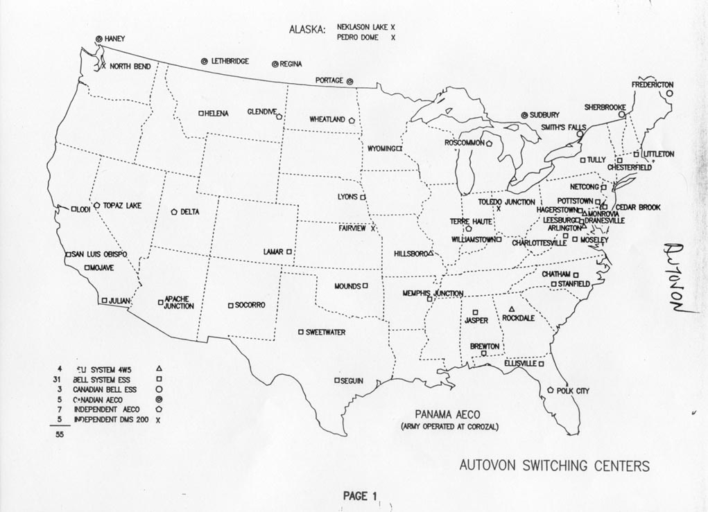
- Former Autovon Switching Centers.
External links
Municipalities and communities of Jefferson County, Missouri, United States | ||
|---|---|---|
| Cities |  Map of Missouri highlighting Jefferson County | |
| Villages | ||
| Townships | ||
| CDPs | ||
| Unincorporated communities | ||

| Authority control |
|
|---|