Penonomé District
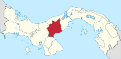
Penonomé District is a district (distrito) of Coclé Province in Panama. The population according to the 2000 census was 72,448. The district covers a total area of 1700 km². The capital lies at the city of Penonomé.[1]
Penonomé District | |
|---|---|
 | |
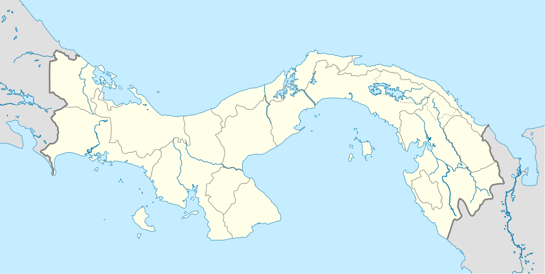
 Penonomé District Location of the district capital in Panama | |
| Coordinates: 8°31′7″N 80°21′19″W | |
| Country | |
| Province | Coclé Province |
| Capital | Penonomé |
| Area | |
| • Total | 1,708.6 km2 (659.7 sq mi) |
| Population (2010 census) | |
| • Total | 85,737 |
| • Density | 50/km2 (130/sq mi) |
| Time zone | UTC-5 (ETZ) |
Administrative divisions
Penonomé District is divided administratively into the following corregimientos:
- Penonomé (capital)
- Cañaveral
- Coclé
- Chiguirí Arriba
- El Coco
- Pajonal
- Río Grande
- Río Indio
- Toabré
- Tulú
- El Valle de San Miguel
- Vista Hermosa
- Los Uveros
- El Silencio
gollark: LyricLy (Macron author) (rotating).
gollark: It is kind of sort of not really how flash memory works.
gollark: It's stored within the magic smoke, so releasing it will wipe it.
gollark: Well, if you apply a 1kV potential difference across any pins of whichever chip stores this stuff, it should stop storing data.
gollark: I know my code is probably maybe safe, but it doesn't.
References
- "Districts of Panama". Statoids. Retrieved April 10, 2009.
This article is issued from Wikipedia. The text is licensed under Creative Commons - Attribution - Sharealike. Additional terms may apply for the media files.
