Calobre District
Calobre District is a district (distrito) of Veraguas Province in Panama. The population according to the 2000 census was 12,184;[2] the latest official estimate (for 2019) ia 12,159.[3] The district covers a total area of 806 km². The capital lies at the town of Calobre.[2]
Calobre District | |
|---|---|
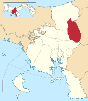 | |
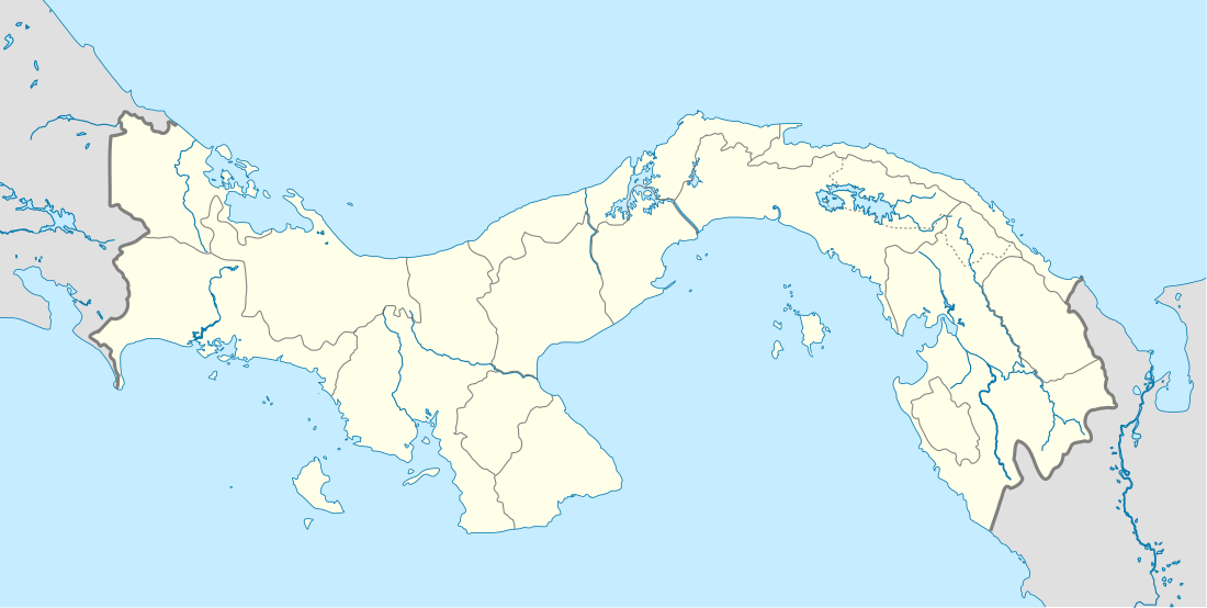 Calobre District Location of the district capital in Panama | |
| Coordinates: 8°19′12″N 80°50′24″W | |
| Country | |
| Province | Veraguas Province |
| Capital | Calobre |
| Area | |
| • Total | 311 sq mi (806 km2) |
| Population (2019) | |
| • Total | 12,159 |
| official estimate[1] | |
| Time zone | UTC-5 (ETZ) |

La Mochila thermal springs
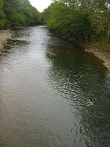
La Mochila River
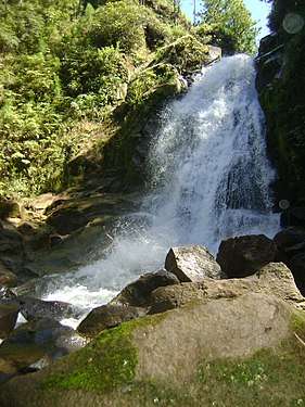
Waterfall in La Yeguada, Veraguas
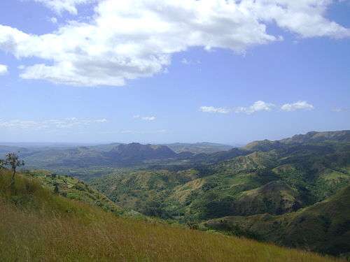
Llanura La Mochila in La Yeguada, Veraguas
Administrative divisions
Calobre District is divided administratively into the following corregimientos:
- Calobre
- Barnizal
- Chitra
- El Cocla
- El Potrero
- La Laguna
- La Raya de Calobre
- La Tetilla
- La Yeguada
- Las Guías
- Monjarás
- San José
gollark: You mean *remotely*?
gollark: > I can give you a way to erase potatOS from existence too???
gollark: More efficient, and easier in some situations.
gollark: That seems fine.
gollark: notatOS doesn't exist.
References
- Instituto Nacional de Estadística y Censo, Panama.
- "Districts of Panama". Statoids. Retrieved April 13, 2009.
- Instituto Nacional de Estadística y Censo, Panama.
Capital: Santiago de Veraguas | ||
| Atalaya District |  | |
| Calobre District | ||
| Cañazas District | ||
| La Mesa District | ||
| Las Palmas District | ||
| Mariato District | ||
| Montijo District | ||
| Río de Jesús District | ||
| San Francisco District | ||
| Santa Fé District | ||
| Santiago District |
| |
| Soná District | ||
This article is issued from Wikipedia. The text is licensed under Creative Commons - Attribution - Sharealike. Additional terms may apply for the media files.