Chepigana District
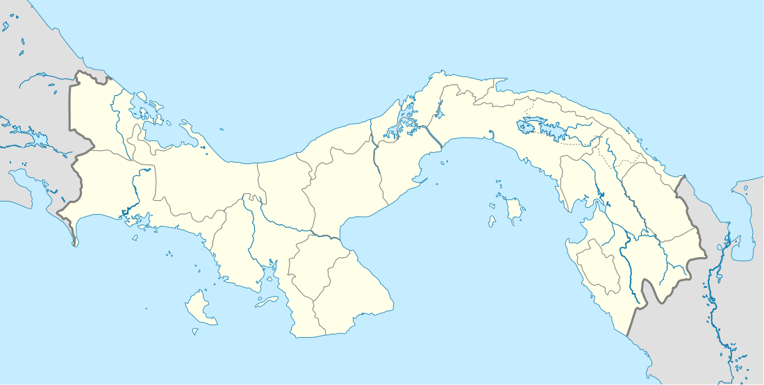
Chepigana District (Spanish pronunciation: [tʃepiˈɣana]) is a district (distrito) of Darién Province in Panama. The population according to the 2000 census was 27,461;[2] the latest official estimate (for 2019) is 30,983.[3] The district covers a total area of 6,991 km². The capital lies at the town of La Palma.[2]
Chepigana District | |
|---|---|
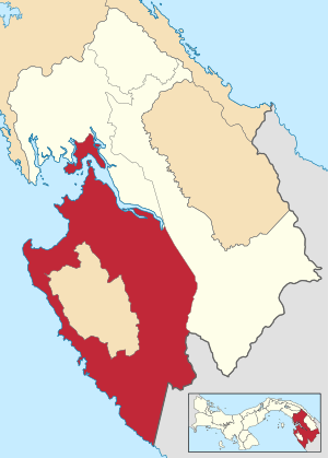 | |
 Chepigana District Location of the district capital in Panama | |
| Coordinates: 8°24′36″N 78°9′0″W | |
| Country | |
| Province | Darién Province |
| Capital | La Palma |
| Area | |
| • Total | 2,699 sq mi (6,991 km2) |
| Population (2019) | |
| • Total | 30,983 |
| official estimate[1] | |
| Time zone | UTC-5 (ETZ) |
Administrative divisions
Chepigana District is divided administratively into the following corregimientos:
- La Palma
- Camoganti
- Chepigana
- Garachiné
- Jaqué
- Puerto Piña
- Río Congo
- Río Iglesias
- Sambú
- Setegantí
- Taimatí
- Tucutí
- Agua Fría
- Cucunatí
- Río Congo Arriba
- Santa Fe
gollark: It will reduce your WPM by a factor *independent of length*.
gollark: Your accuracy is still constant, though? So it doesn't matter.
gollark: You're not less likely to make mistakes, if we assume mistakes have a constant probability per keystroke/word, which they probably do.
gollark: The shorter tests are easier because something.
gollark: Neat, better than expected.
References
- Instituto Nacional de Estadística y Censo, Panama.
- "Districts of Panama". Statoids. Retrieved April 13, 2009.
- Instituto Nacional de Estadística y Censo, Panama.
This article is issued from Wikipedia. The text is licensed under Creative Commons - Attribution - Sharealike. Additional terms may apply for the media files.