Brembilla
Brembilla was a comune in the province of Bergamo, in Lombardy, Italy. It was situated 15 km northwest of Bergamo. In 2014, the municipality of Gerosa was merged with Brembilla to create a new municipality, named Val Brembilla.
Brembilla | |
|---|---|
| Comune di Brembila | |
 Coat of arms | |
Location of Brembilla 
| |
 Brembilla Location of Brembilla in Italy 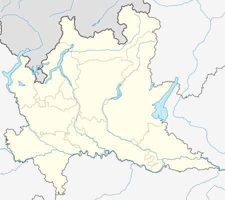 Brembilla Brembilla (Lombardy) | |
| Coordinates: 45°49′N 09°36′E | |
| Country | Italy |
| Region | Lombardy |
| Province | Bergamo (BG) |
| Government | |
| • Mayor | Ing. Damiano Zambelli |
| Area | |
| • Total | 20 km2 (8 sq mi) |
| Highest elevation | 1,400 m (4,600 ft) |
| Lowest elevation | 400 m (1,300 ft) |
| Population (2011)[2] | |
| • Total | 4,162 |
| • Density | 210/km2 (540/sq mi) |
| Demonym(s) | Brembillesi |
| Time zone | UTC+1 (CET) |
| • Summer (DST) | UTC+2 (CEST) |
| Postal code | 24012 |
| Dialing code | 035 |
| Patron saint | St. Anthony of Padua |
| Saint day | June 13 |
Bounding communes
- Blello
- Gerosa
- San Pellegrino Terme
- Zogno
- Ubiale Clanezzo
- Capizzone
- Berbenno
- Sant'Omobono Imagna
- Corna Imagna
Twin towns — sister cities
Brembilla was twinned with:

gollark: `pommes de terreOS` in france, unrelatedly.
gollark: Anyway, to capture screenshots *at all*, you need to redirect the terminal to a framebuffer of some sort, which is slooooow.
gollark: Basically always.
gollark: CC doesn't have good support, and the framebuffer approach would ruin performance.
gollark: I can't really do screenshots easily.
References
- "Superficie di Comuni Province e Regioni italiane al 9 ottobre 2011". Istat. Retrieved 16 March 2019.
- ISTAT Archived March 3, 2016, at the Wayback Machine
This article is issued from Wikipedia. The text is licensed under Creative Commons - Attribution - Sharealike. Additional terms may apply for the media files.